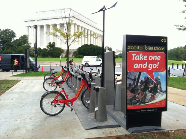
An Arlington think tank just made using the Capital Bikeshare system a whole lot easier.
Today, Mobility Lab launched Cabi Range, a mapping tool that shows users all of the Capital Bikeshare stations they can bike to in 30 minutes or less. The tool also highlights the easiest route to take to get there.
Here’s how it works: Choose your current location from the drop-down menu and type in how many minutes you’re willing to ride. (Note: Capital Bikeshare starts charging extra after 30 minutes.) The tool then highlights in green all of the Capital Bikeshare stations you can bike to within your timeframe. Also key: The tool plots out the route for you via Google Maps.
A quick test showed us that from Washingtonian’s offices at 19th and L streets, we can get to the station at 39th and Calvert streets in Glover Park in 20:52 minutes and 4.862 kilometers, or about three miles. We can even make it to Pentagon City with seven seconds to spare.
In creating CaBi Range, Mobility Lab’s Michael Schade also found a lot of useful data when it comes to riding Capital Bikeshare:
1) Capital Bikeshare users bike the slowest speed from 19th and K to 19th and L streets, at 1.9 miles per hour.
2) From 18th Street and Wyoming Avenue to California Street and Florida Avenue, cyclists bike the fastest, at 18.6 miles per hour.
3) The station that has the most number of other stations within 30 minutes is at the Lincoln Memorial.
Test out Cabi Range for yourself at mvjantzen.com/cabi/range.html.


