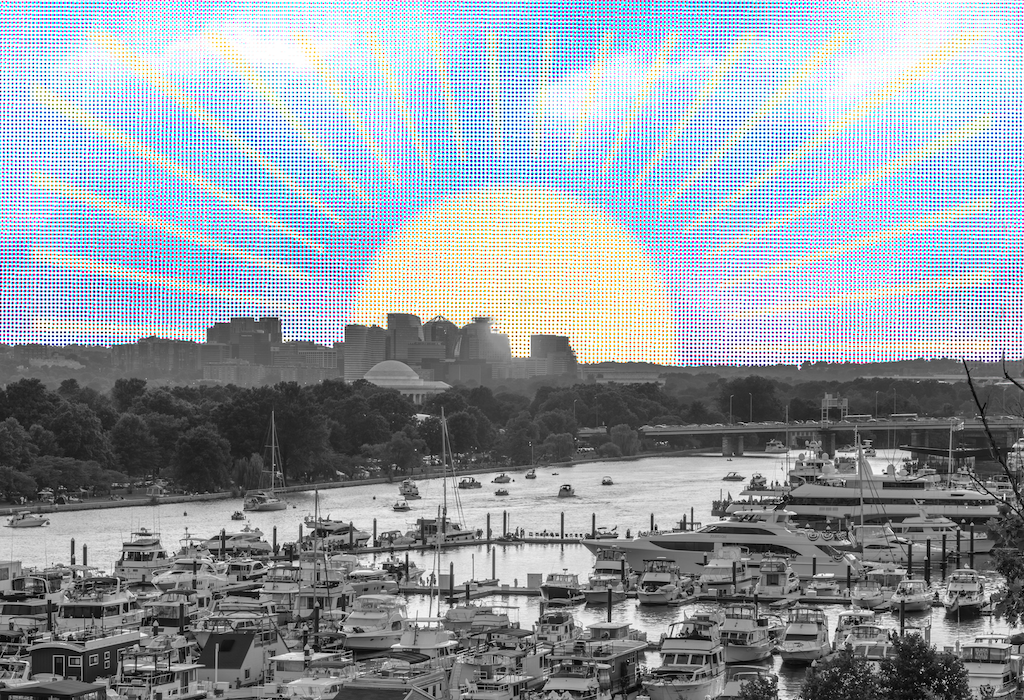
Skepticism has become Washington’s official policy on climate change, but even nonbelievers can’t miss some long-advertised effects of global warming that have begun to show up on our doorstep: “nuisance flooding” in DC’s Palisades and Annapolis, higher heat indexes, and sinking islands in the Chesapeake Bay.
We invited Virginia Burkett, who oversees climate science at the US Geological Survey—the feds’ 139-year-old land-use agency—to talk about what more we can expect.
Can you point to any local phenomenon as an example of climate change happening right in front of us?
Flooding is probably the most obvious. Some places are flooding nearly five times more often today than a half century ago, and on the waterfront in the District, especially, what’s known as nuisance flooding is a growing problem. Several Metro stations already flood regularly. With more heavy rainfall events, that’s going to get worse.
So rain is the biggest problem?
It’s a combination of heavy rainfall events and human development—all the asphalt and other building we do, rerouting streams. The land around the Chesapeake and near DC is also sinking.
Wait—sinking?
It’s called subsidence, caused by natural changes in the earth’s surface as the ice sheets melt and by groundwater withdrawal—pumping water out of wells. The rate of subsidence ranges around DC from about 1.5 to 2.5 millimeters per year. It’s higher in the bay. In the lower bay region, it’s been half a centimeter a year since the 1940s. Half of that is from subsidence.
To a layperson, a couple of millimeters doesn’t sound like much.
It’s not much, but over 10 or 50 years, it adds up. You can see it in the way some islands in the Chesapeake have been inundated. There’s been a dramatic loss of wetlands in the Blackwater National Wildlife Refuge on the Eastern Shore—more than 5,000 acres are gone since the 1940s due to subsidence and sea-level rise. Water levels in the Potomac and Anacostia rivers have risen roughly 11 inches in the past century.
In the climate maps that the US Global Change Research Program puts out, Virginia is assigned to the southeast region and DC and Maryland are in the northeast. Are there appreciable differences in how the two halves of Washington will experience climate change?
The similarities probably outweigh any differences, but the main difference in what the two states are dealing with immediately is probably the vulnerability to sea-level rise. Norfolk is basically ground zero for large metropolitan areas dealing with nuisance flooding, and we expect this to get much worse. On the other hand, Maryland may feel climate change more dramatically.
Right now, central and southern Virginia is the dividing line for a lot of plants and animals that can only live in the southern US. We can expect that line to shift north into Maryland as the century goes along.
Where is that line now?
It goes diagonally from around Danville up to Fredericksburg and over to the southern half of Maryland and the Eastern Shore. Another way to think about this is looking at the USDA plant-hardiness zones that serve as a guide to what kind of plants can grow where. By the end of the century, we may see the Fredericksburg hardiness zone move all the way up into Maine. Fredericksburg has been the northern limit for the loblolly pine tree. That is going to move north through Maryland into suitable soil and water conditions. Winter for Fredericksburg will become like South Carolina.
What signs can we look for?
It doesn’t mean you’ll be seeing palm trees anytime soon in DC, but we’re already seeing changes. The red imported fire ant comes to mind. The northern range of this invasive species was limited to North Carolina just a decade ago. It’s now expanding in Virginia.
Warmer waters in the Chesapeake Bay have caused a massive influx of nonnative brown brook trout to the region, which are outcompeting the native brook trout for food. The Baltimore oriole may no longer be found in Baltimore in future summers.
The picture we get of early Washington is of a marshy place that needed to be drained before it could become a city.
That picture is not entirely correct, but it’s close. Most of DC was not marshy—a lot of it is built on uplands, with creeks of varying size—but Southwest DC is partially built on land that was filled, formerly the Potomac. An 1861 map shows land south of Constitution Avenue, west of the Washington Monument, the Reflecting Pool, the Lincoln Memorial, all of East Potomac Park. On the western side, east of the Pentagon and nearly all of Reagan National Airport are on filled land. That was all built in this floodplain and along and in the Potomac.
Yet with all this water, one report says Washington could face water-sustainability problems.
If you look at the water-supply risk through the middle of this century, absent climate change, the water supply in Maryland, DC, and Virginia will meet demand. Factor in climate change and the sustainability goes from low to moderate to high risk. Even though the region might get slightly wetter across the whole year, the growing demand for water, coupled with evaporation and water use, will result in less water available for human use. There will be more rainfall but also more drought. Policymakers have difficulty grasping this.
If the models say summers will be drier, will we have so-called dry heat?
Summer will be drier, but that won’t make it more comfortable. Because of those higher evaporation rates, we can’t expect relief from humidity. Plus, hotter air can hold more water. I’ve seen maps that show the temperature of DC being like that of south Texas by the end of the century, but I think it will feel more like southern Louisiana because of the humidity.
So we can expect to keep our humidity as our trademark.
Yes, and it may even get worse. The District generally gets about ten really hot and humid days a year with a heat index above 105 degrees. Those are expected to triple by 2030. One recent analysis suggests that by the time millennials turn 50, nearly every summer day could have a heat index above 105. And nights are warming faster than days, which is a serious health concern. The elderly and people with medical conditions like asthma or seasonal allergies are more vulnerable to heat waves than others. Poor communities often cannot afford air-conditioning units or may not be able to operate them due to higher energy bills.
Climate change only recently became a matter of energy bills and sewer systems, especially in Washington. What changed that conversation?
I’ve been working on climate science for 25 years, and in the beginning it was scientists like me talking about physical climate change. Then we started understanding the impact on natural systems. Then the demand from policymakers became “What about people?” They had questions about food security, human health, national security, coastal communities and agriculture, disease spread. It was a natural progression of integration of science as more policymakers called for more facts. It’s no longer a matter of polar bears and fire ants but of human impacts. So we brought in social scientists who understood the societal risk. They added a lot of knowledge to our assessments.
Is there anything that gives you hope?
What encourages me is the public understanding that we are not helpless. There are a wide range of options to mitigate and adapt to climate change. One of those is technology, which is enabling emission reduction and capture and underground injection of carbon released by power plants. We understand which natural habitats store carbon most effectively. But most of all is the increase in education. When students are doing their papers, I get questions every day from high-schoolers and middle-schoolers who find me online. They ask me, “Would this work?” or “What do you think about this impact?” It tells me, for one thing, that they are getting the science in their curriculum. It also tells me they have the desire not just to learn but to solve problems. It’s inspiring.
Are there solutions that give you hope as well? Is anything being done elsewhere in the country that you think DC can look to?
There have been great advancements in cities—in fact, cities are probably well ahead of federal and state governments in terms of on-the-ground adaptation. In Boston, they’re raising the elevation of their sewage-treatment plants as they make upgrades, to accommodate future sea level. New Orleans is restoring wetlands that are a storm buffer for the city.
You’ve talked about how government scientists shouldn’t be advocates and that the role of USGS, at least, isn’t to dictate policy but to give policymakers relevant information. Do you think that’s going to hold true if policymakers don’t take the right steps on climate change?
I’m encouraged by their interest in the science. There’s widespread, shared interest now among policymakers to understand the science. That’s really important. You can hear it in the hearings among appointees for the incoming administration. USGS is an independent, objective agency that doesn’t get involved in politics or make policy decisions. When the American public, industry, and every level of government understand the science, we all benefit.
This article appears in the March 2017 issue of Washingtonian.


