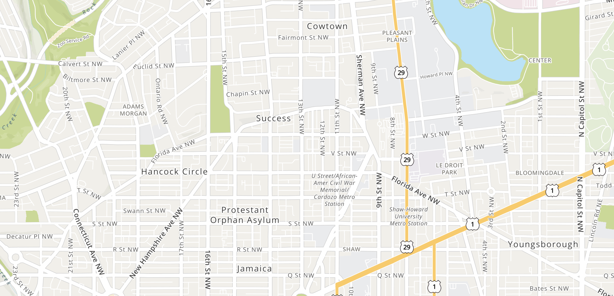
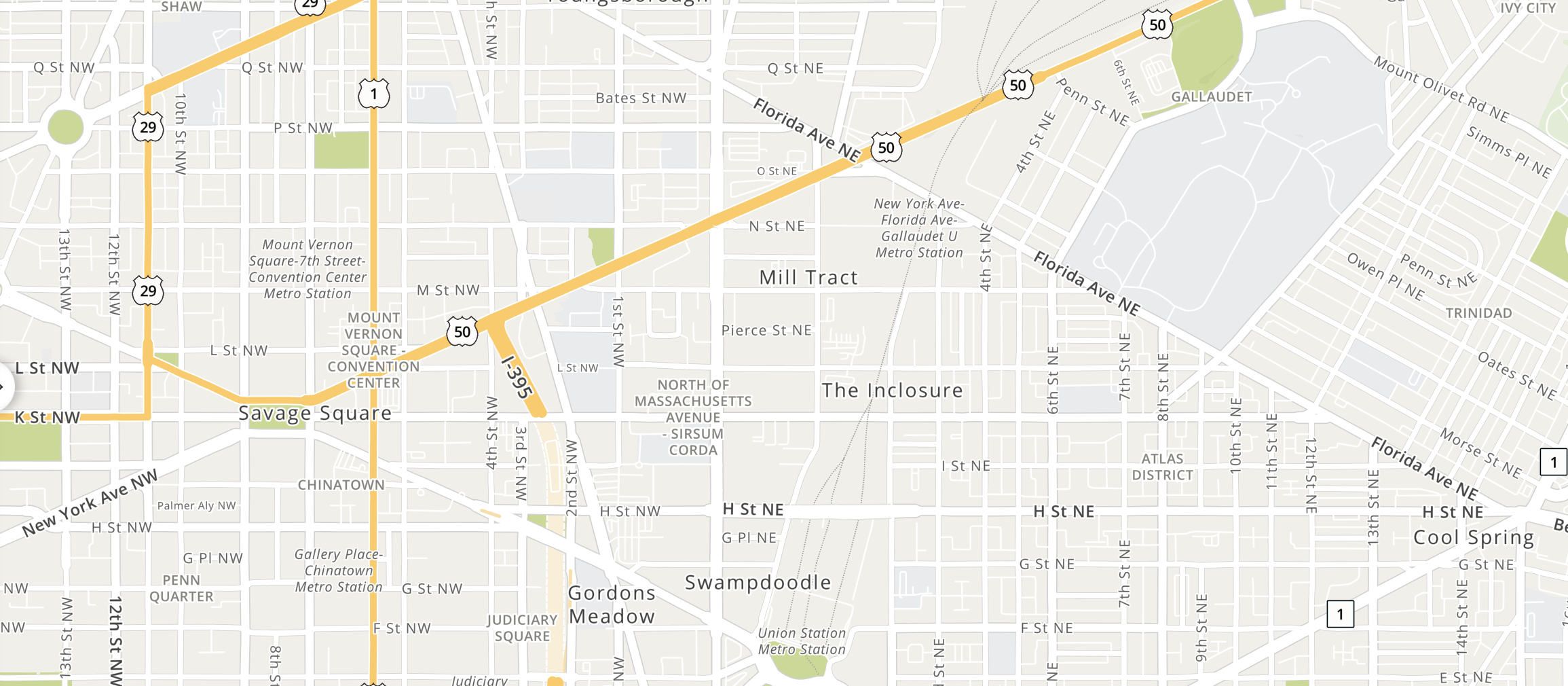
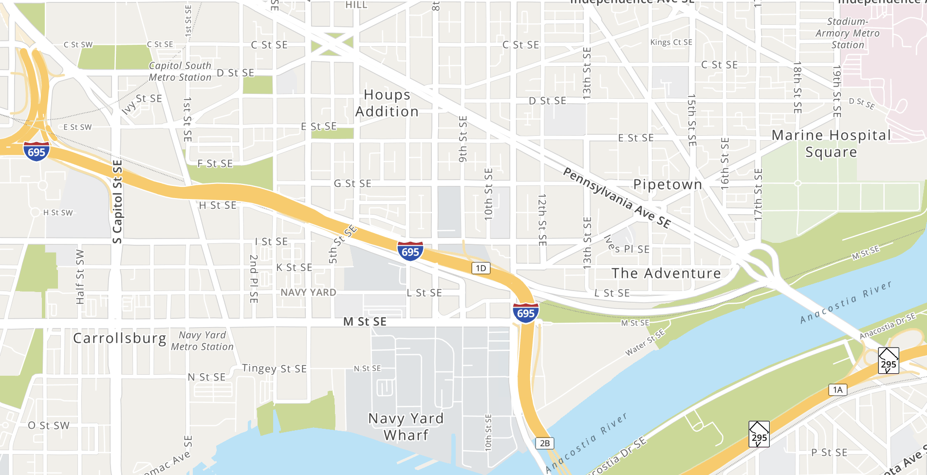
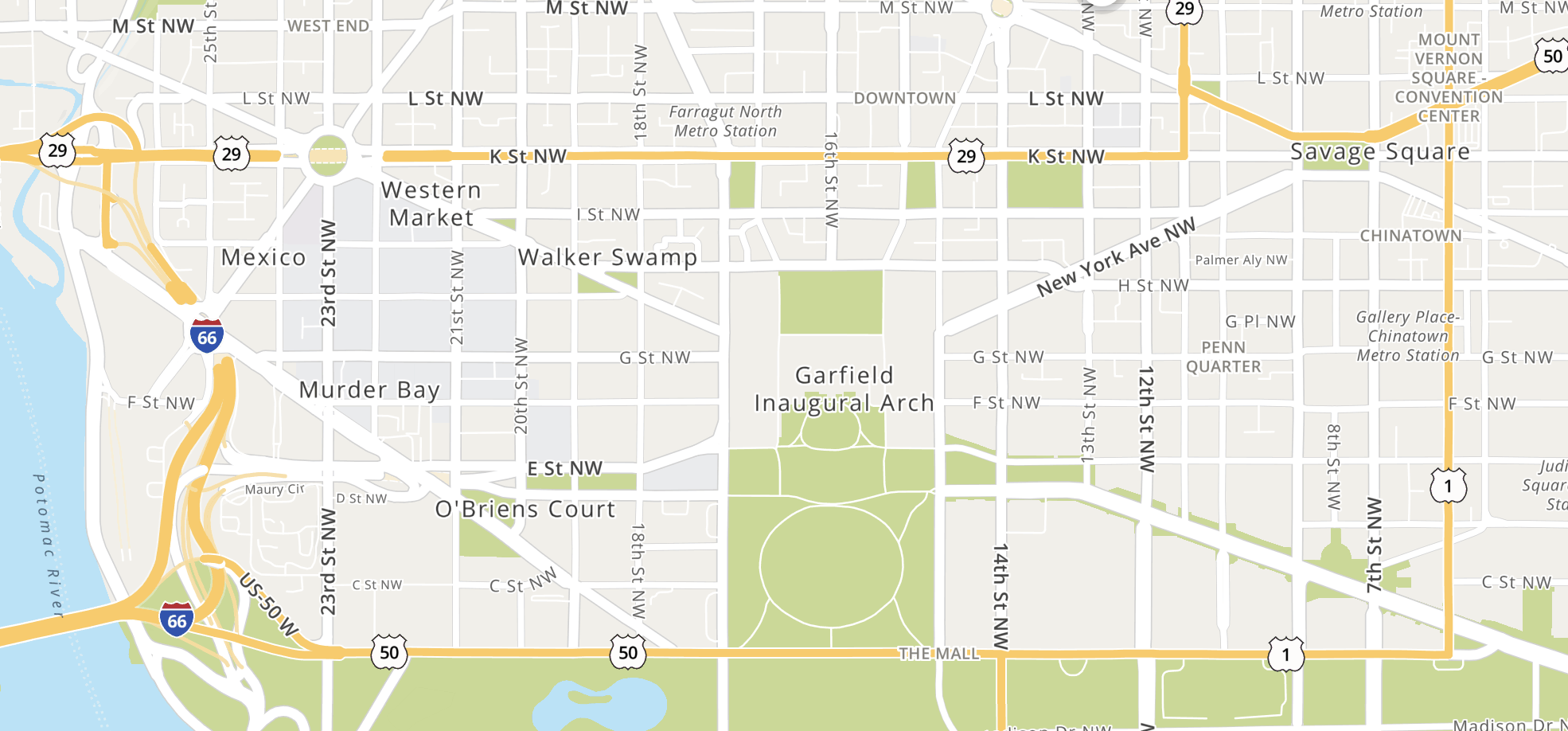
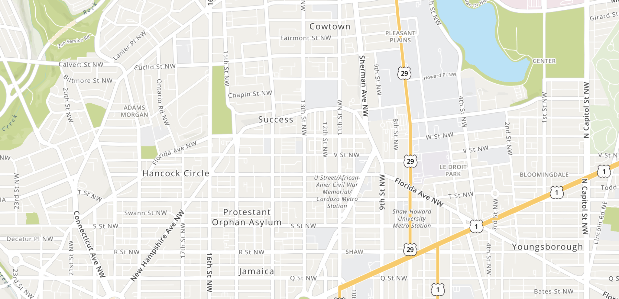
On your average map, Foggy Bottom seems like a perfectly innocuous neighborhood. But zoom in a little too close on MapQuest? Suddenly, you’ll find yourself in MURDER BAY. In fact, MapQuest’s cartography of DC is filled with antiquated labels, some dating back centuries. Non-geriatric Washingtonian staff writer Jane Recker stumbled upon the oddity today while searching on the actually still here map site:
Can someone please explain to me why this Mapquest labeling of DC is so unhinged? The Logan Circle area is labeled as "Protestant Orphan Asylum" pic.twitter.com/r0tPDcNpQm
— Jane Recker (@janerecker) May 26, 2021
The curious monikers—try selling a condo in Murder Bay—are retired names of places around DC. Some of the names can be found on a throwback map titled “Sketch of Washington in Embryo,” dating back to 1792. Other neighborhoods like Pipetown and Hell’s Bottom got their names following the Civil War.
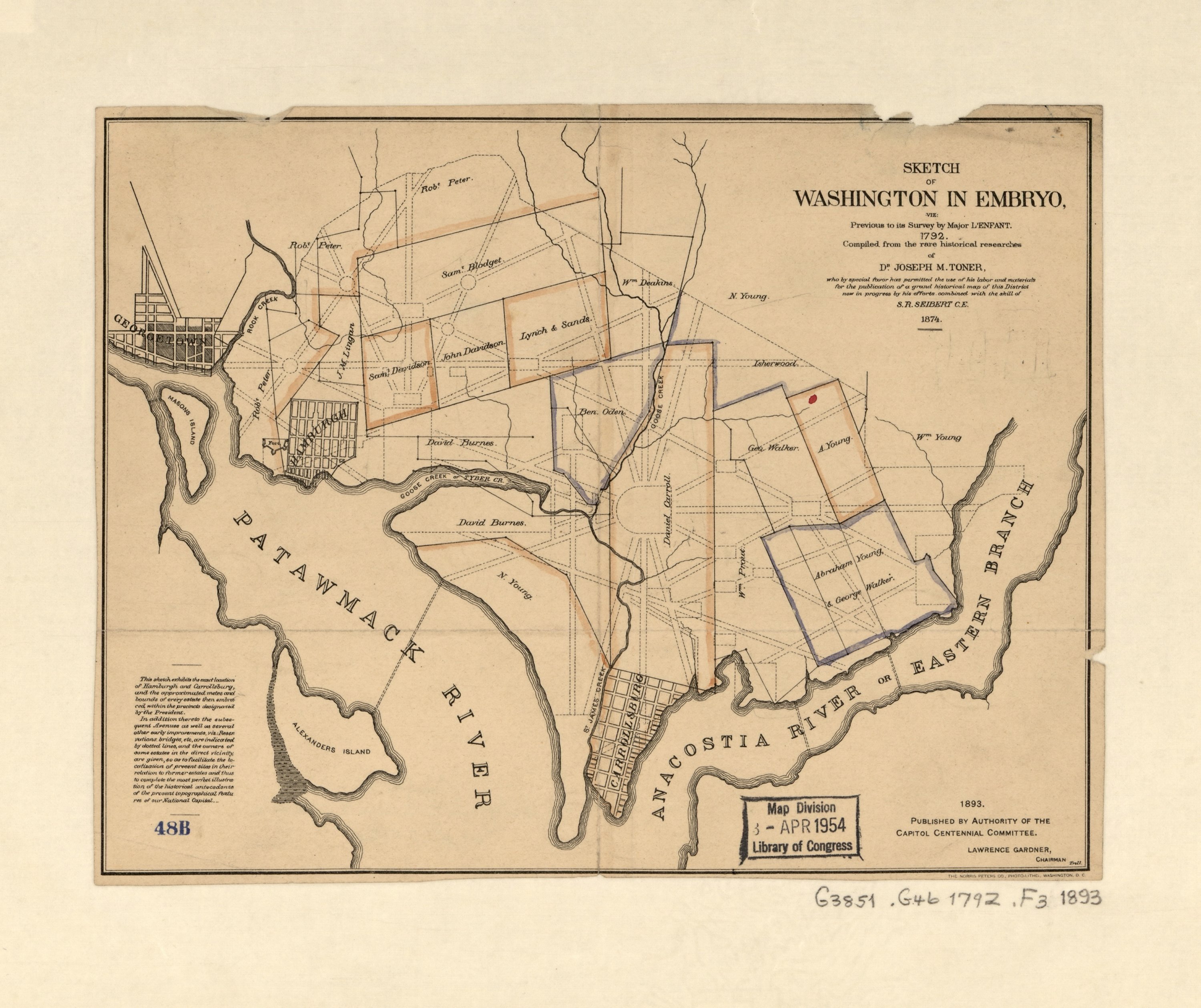
However, the reason why they are listed on an Internet map is the true mystery—computers didn’t even exist when you could amble down to Protestant Orphan Alley or mosey down to Success. MapQuest, what are you trying to tell us?! Is this the surveyors equivalent of a posting a “we do not have WiFi, pretend it’s the ’90s and talk” sign in a coffee shop? Seeking an explanation, Washingtonian, whose new offices appear to be within walking distance of Walker Swamp, reached out to MapQuest for comment and will update this post if we ever hear back.
Take a look at the maps yourself:
