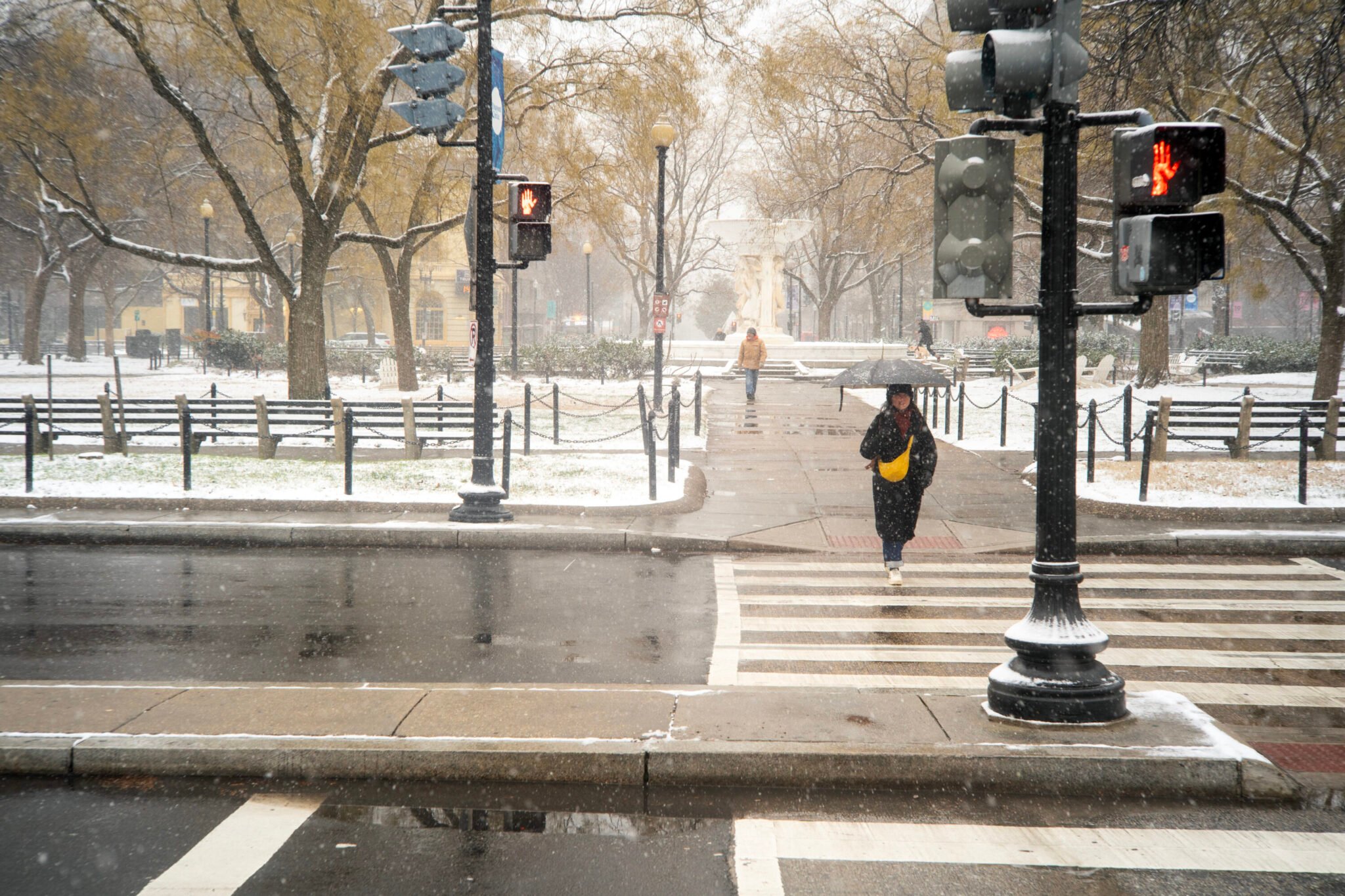
As we embrace sweater weather this week, La Niña—a natural climate phenomenon characterized by the cooling of the tropical Pacific Ocean—is approaching. This year, it’s signaling a warmer winter for Washingtonians.
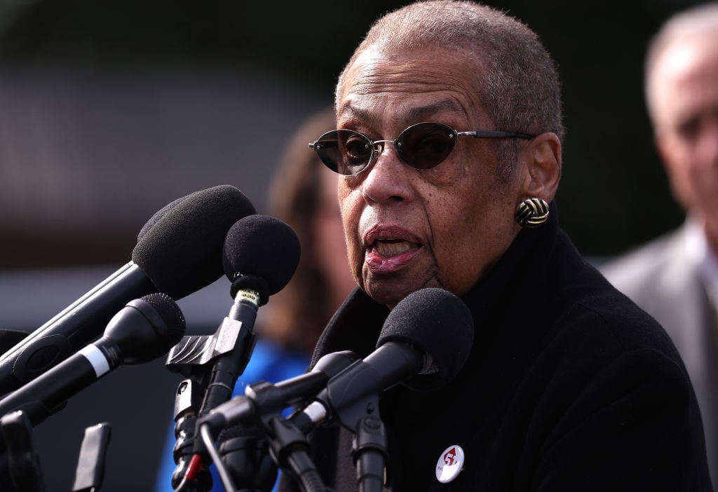
Typically, this weather pattern shifts storms northward during winter, resulting in drier conditions and increased temperatures in DC—meaning less snowfall and rain. “The official winter outlook shows there’s a 40-50 percent chance of above average temperatures for the DC area,” says Michelle L’Heureux, a physical scientist at the NWS Climate Prediction Center and an expert on the El Niño-Southern Oscillation. “But that doesn’t just take into account La Niña. We’re also seeing the impact of climate change trends here.”
While La Niña is predicted to be weak this year, we’ll still feel a slightly different weather pattern in the coming months. In previous La Niña winters, the average temperature was about a degree above the average and snowfall around 3-4 inches less than normal. Based on this year’s NOAA Climate Winter Outlook, La Niña is expected to be weak and short-lived, but still might stand in the way of a snow day.
“Historically, La Niña is not promising for snowfall in the DC area,” says L’Heureux. “If you look at the past nine La Niña winters in DC, going back to the 1950s, most of them have below average snowfall.”

