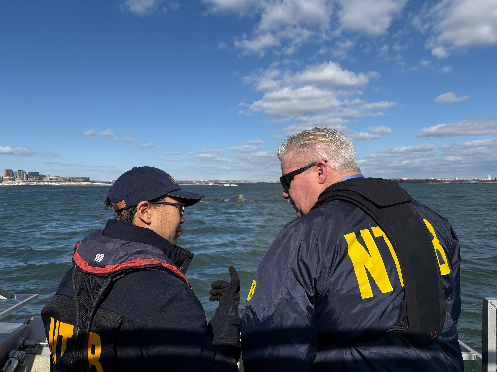
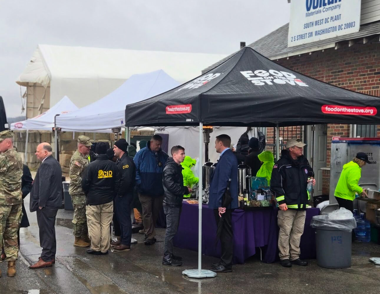
Now that rescue crews have recovered the remains of all 67 people aboard the two aircraft that collided over the Potomac River last week, emergency response work has shifted to clearing debris at the crash site. DC-area residents living along the river might have caught a glimpse of the latest step in the response effort overnight Friday: A green laser projected over the surface of the water.
As of Thursday afternoon, all “major components” of the American Airlines jet and US Army Black Hawk helicopter involved in the air disaster had been cleared from the river, according to a Unified Command press release. But there are still smaller pieces of wreckage to find: That’s why the National Oceanic and Atmospheric Administration sent a plane equipped with LiDAR scanning technology on a low-altitude flight over the river around 2 AM Friday. As the aircraft scanned the water, it shone down a visible green light—a move to help first responders identify and remove remaining debris.

LiDAR—which stands for “light detection and ranging”—uses laser light pulses to take precise measurements of the Earth’s surface, which can support the development of detailed 3D models to map these findings. When scanning bodies of water, the use of a water-penetrating green light helps crews to measure seafloor and riverbed elevations, according to NOAA.

The technology is regularly deployed as part of disaster response and prevention efforts. LiDAR, for instance, helped crews identify spots where New Orleans’ levy system failed to prevent mass flooding in the aftermath of Hurricane Katrina; it’s also used to map vegetation density to flag areas that are vulnerable to wildfires, assess infrastructure damage after natural disasters, and predict tsunamis using data gleaned from volcano and earthquake activity underwater.

