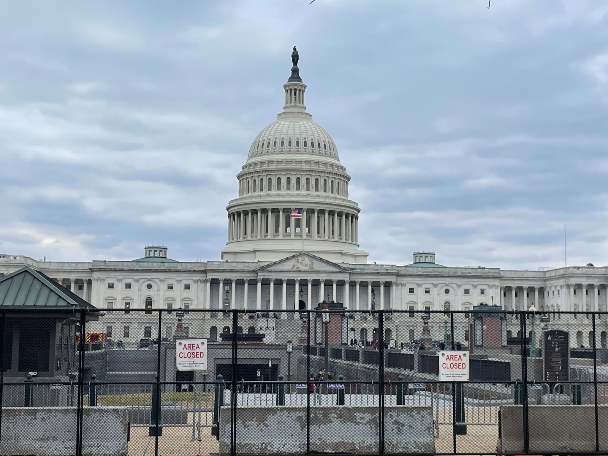
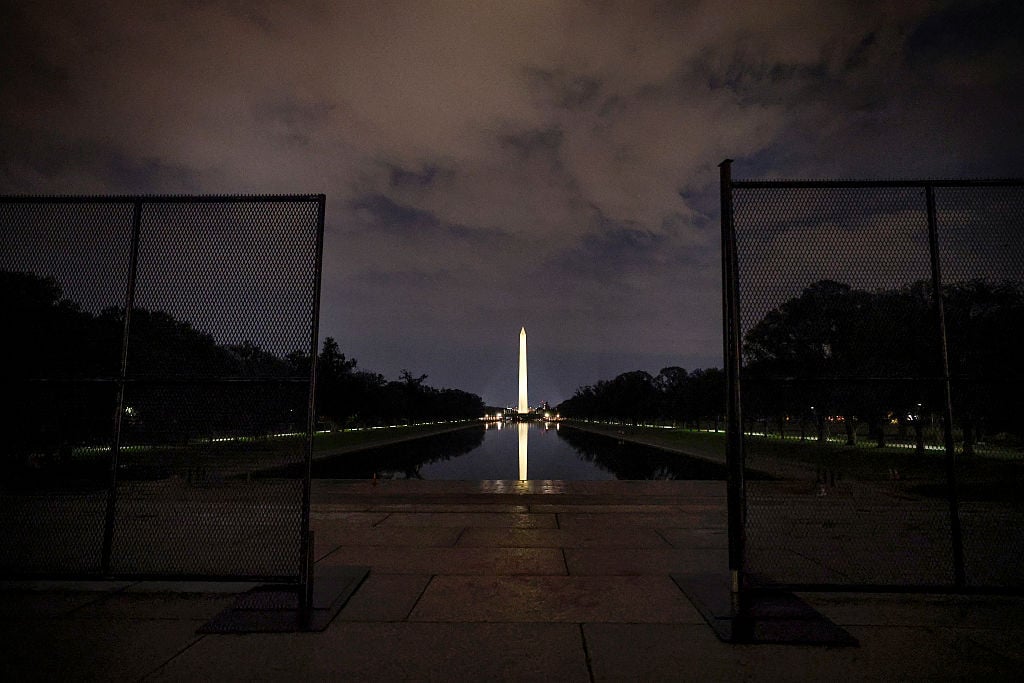
The Capitol fence is back, and police will begin to close roads around the complex beginning at 6:30 AM on Tuesday, February 7, in anticipation of President Biden’s State of the Union address. Here’s a map with the temporary closures organized by the time they’ll occur:
Here’s the list of closures, via the US Capitol Police:
AFTER 6:30 PM
Pennsylvania Avenue between First Street, NW, and Third Street, NW
Maryland Avenue between First Street, NW, and Third Street, SW
First Street between Constitution Avenue, NW, and Independence Avenue, SW
AFTER 5:30 PM
Constitution Avenue between Louisiana Avenue, NW, and Second Street, NE
Independence Avenue between Washington Avenue, SW, and Second Street, SE
First Street between Washington Avenue, SW, and Louisiana Avenue, NW
D Street between First Street, NE, and Second Street, NE
First Street between Independence Avenue, SE, and Constitution Avenue, NE
Maryland Avenue between First Street, NE, and Constitution Avenue, NE
East Capitol Street between First Street and Second Street
New Jersey Avenue between C Street, NW, and Constitution Avenue, NW
AFTER 7 PM
Second Street between Constitution Avenue, NE, and Independence Avenue, SE
Constitution Avenue between Third Street, NW, and Louisiana Avenue, NW
First Street between C Street, NW, and Louisiana Avenue, NW
Independence Avenue between Third Street, SW, and Washington Avenue, SW
Washington Avenue between Independence Avenue, SW, and C Street, SW
Second Street between Washington Avenue, SW, and C Street, SW

