The Buzzard Rock North hike is short but oh so sweet—for little effort, you’re rewarded with crisp mountain air and panoramic views.
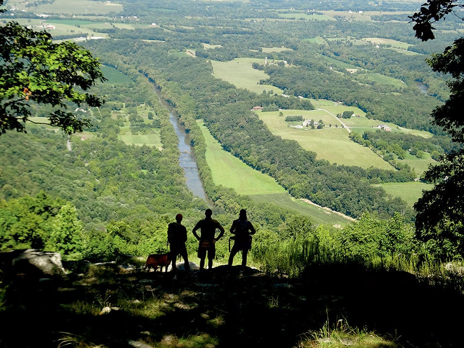
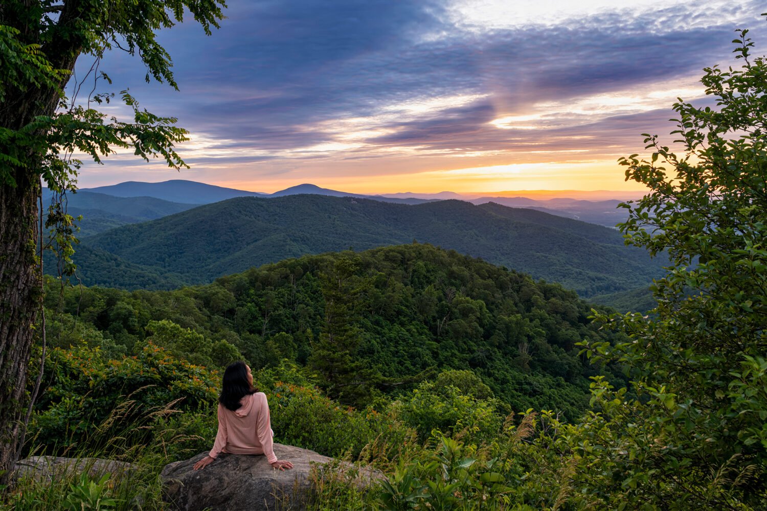
Located in Virginia’s George Washington National Forest, about an hour from the Beltway, Buzzard Rock lies one mountain ridge west of Shenandoah National Park yet doesn’t attract the crowds of Skyline Drive. The two-mile hike to the summit takes less than an hour, with an elevation change of less than 1,000 feet. At the top, you’ll gaze out over a series of mountain ridges and a sea of trees—soothingly green in summer and a kaleidoscope of yellows, oranges, and reds in autumn.
The trailhead is at a small parking lot outside Front Royal, at 3087-3139 Mountain Road/Route 619. The well-marked, white-blazed path passes through a pine forest before reaching several small stream crossings. After you hop across the creeks, the forest changes to hardwoods. In spring and early summer, small blue flowers dot the undergrowth and redbud trees tickle the landscape with bright-pink blossoms.
The trail continues up and down gently rolling terrain before reaching a steeper switchback at the ridgeline. You’ll know you’re there when you see a small campsite off the trail. This is the first of several scenic overlooks and a nice spot to rest or break for a snack or lunch. Below lie Passage Creek and a set of ponds belonging to the Front Royal Fish Hatchery. From the flat outcropping, it’s possible to see Winchester on a clear day.
The path returns to the woods for a short climb before opening up to the rocky cliffs. The next quarter mile of ridgeline is lined by massive rock slabs that slice skyward like jagged knife blades. Scramble up the rocks or stand on the edge of the cliffs in one of the gaps in the rock faces and take in the view—mountain peaks in the distance, the farms and trees of Fort Valley below.
Bald eagles, falcons, and hawks sometimes soar along the ridges, which are migration routes. Occasionally, a raptor will perch in one of the scraggly pines clinging to the cliff face. The steep quartzite walls also include more than 20 climbing routes. Don’t be surprised if, while you’re hanging out at an overlook, a rock climber pops up over one of the slabs.
I’d suggest turning around at the last rock outcropping, a third of a mile from the switchback, and retracing your steps to return to your car.
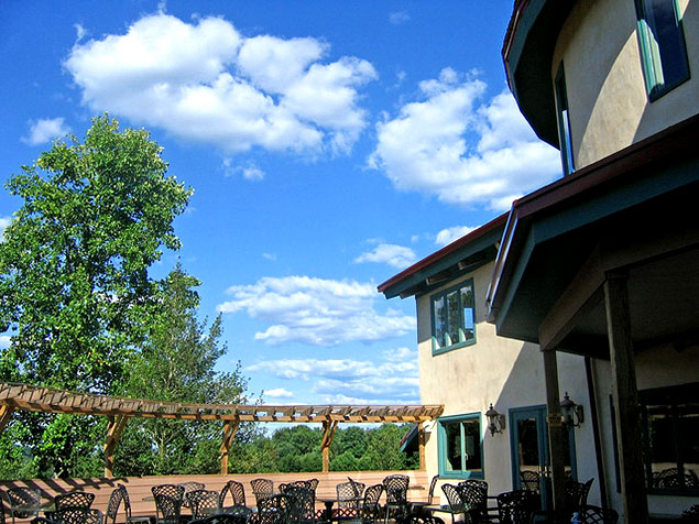
After the hike, you could swing by the Hotel Strasburg (213 S. Holliday St., Strasburg; 540-465-9191), ten minutes from the trailhead, for good pub fare and free popcorn. Or detour on the drive back to Washington for a deliciously decadent apple doughnut at the Apple House in Linden (4675 John Marshall Hwy.; 540-636-6329). If there’s still daylight, continue down Route 55 from the Apple House for another ten minutes to Chateau O’Brien (3238 Railstop Rd., Markham; 540-364-6441) for an upscale winetasting ($8 or $15) where no one cares if you’re wearing muddy boots.
A longer, seven-mile version of the hike starts within Fort Valley, near Elizabeth Furnace.
Go Back to Our List of Great Walks ››
This article appears in our May 2015 issue of Washingtonian.

