Why you might roll your eyes:
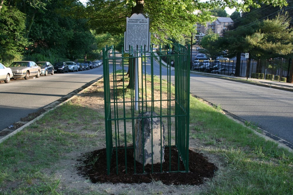
DC was outlined by 40 surveying stones laid in 1791 and 1792; 36 still remain. Many are now in woods and ravines; nearly all are in neighborhoods without fancy sights.
Why you’ll love it:
The squatty blocks (most protected by metal fences erected in 1915) sit at roughly one-mile intervals, in locales ranging from front yards to a lonely beach near the Potomac River. Seeing them all takes hours (and many are on private property), a task Boundary Stone restaurant’s bike tour attempts once a year, usually in September. You can hunt them down on your own by car or on foot with the map. A few of the easiest to spot include one in a park near the intersection of Park and Western avenues, Northwest, and another in Arlington’s Andrew Ellicott Park. “The stones are a connection to the city’s origins,” says Stephen Powers, cochair of the Nation’s Capital Boundary Stones Committee. “And you see some out-of-the-way corners of DC.”

