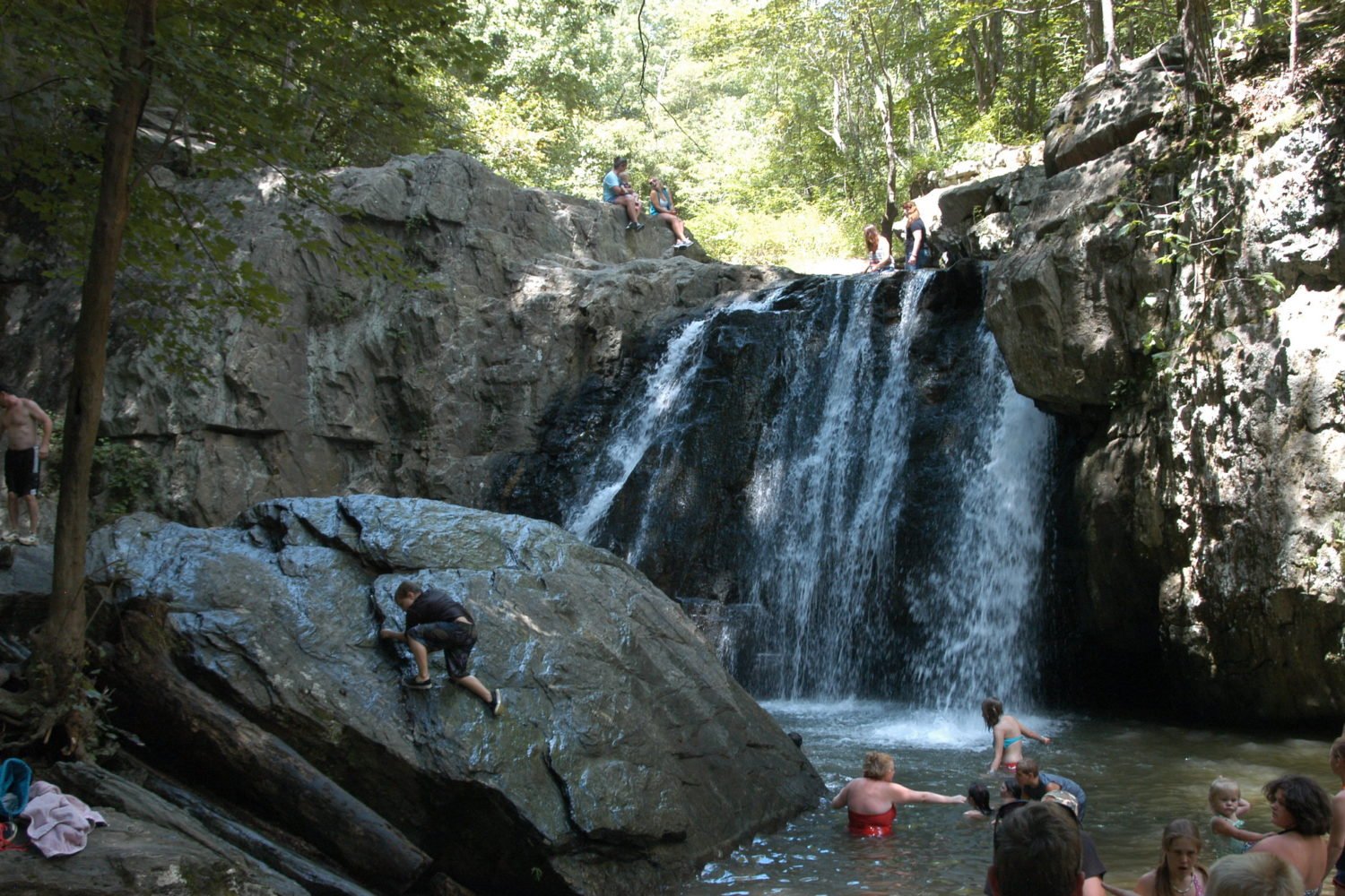
Thanks to the National Park Service, our region has beautiful places to hike. Here are some favorites for every skill level:
Harpers Ferry National Historical Park
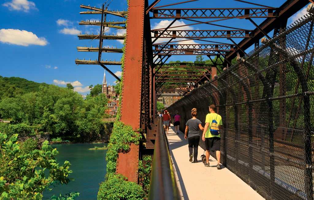
Distance from DC*: 64 miles.
Why Go: Blue Ridge Mountain vistas, river views, and a generous dose of Civil War history are all on tap at this West Virginia park. Its 20 miles of trails—including the midpoint of the 2,178-mile Appalachian Trail—range from the pancake-flat C&O Canal towpath to challenging climbs over hardscrabble terrain.
Best Easy Hike: Appalachian Trail North
Starting at the information center in town (the inside of which is currently closed), the route crosses the Potomac River footbridge and traces the C&O towpath on the most level 2.5 miles of the Appalachian Trail.
Great Strenuous Hike: Maryland Heights
The 6.5-mile trail can get crowded on weekends, but there’s a reason for its popularity. Departing from the information center, it leads to an old stone fort, a naval battery, trenches, and other Civil War relics, many with interpretive signs. The reward: a spectacular view of historic Harpers Ferry and the confluence of the Shenandoah and Potomac rivers.
Best Views: Loudoun Heights
With an 80-foot gain in elevation, this challenging, 7.5-mile hike isn’t for novices. From the information center, cross the Shenandoah River bridge and follow the trail to several scenic lookouts. It ends at the Split Rock overlook with fabulous views of the Potomac and Shenandoah confluence from a southern perspective.
Eat and drink: Harpers Ferry Brewing, known for its quirky beers (such as a blackberry-and-lime gose or coffee-and-coconut-accented barleywine) is set on a cliff overlooking the river. Grab a socially distanced picnic table and sample them alongside snacks from rotating food trucks. 37412 Adventure Center Ln., Hillsboro, Va.; 571-420-2161.
Nearby: While the historic structures and museum exhibits operated by the National Park Service are currently closed, you can still walk about Harpers Ferry pre- or post-hike.
—Jayne Clark
Prince William Forest Park
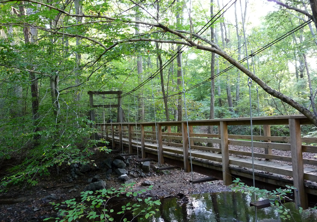
Distance from DC: 32 miles.
Why Go: This 15,000-acre refuge is an often overlooked gem. Yet with 37 miles of hiking trails—including one that stretches for nine miles—it harbors Northern Virginia’s most extensive trail network. Historical fun fact: During World War II, it was used as a spy-training facility by the OSS, precursor to the CIA.
Best Short Hike: Cabin Branch Pyrite Mine Trail
A pyrite mine was in operation here from the 1880s until 1920. (Pyrite was used to make sulfuric acid.) The mine sites are filled in, but vestiges of various operations and buildings remain, along with educational signs. This trail is just three-tenths of a mile long but links to other trails for a total 2.5-mile moderate trek.
Best Moderate Hike: Farms To Forest Trail
The three-mile trail, which starts near Oak Ridge Campground, runs through former farmland. Though forest has reclaimed some of the territory, it’s easy to see where crops were cultivated. Other evidence of past inhabitants includes a cemetery.
Best Long Hike: South Valley Trail
The 8.7-mile trail starts from Oak Ridge Campground and follows the south fork of Quantico Creek. (The less energetic can trim the 18-mile round trip by simply turning back.) Along the way, it passes a couple of lakes and New Deal–era cabins built by the Civilian Conservation Corps.
Eat: Harold & Cathy’s Dumfries Cafe (17670 Fraley Blvd., Dumfries; 703-441-1465), a local haunt, serves classic diner fare.
—Jayne Clark
Catoctin Mountain Park
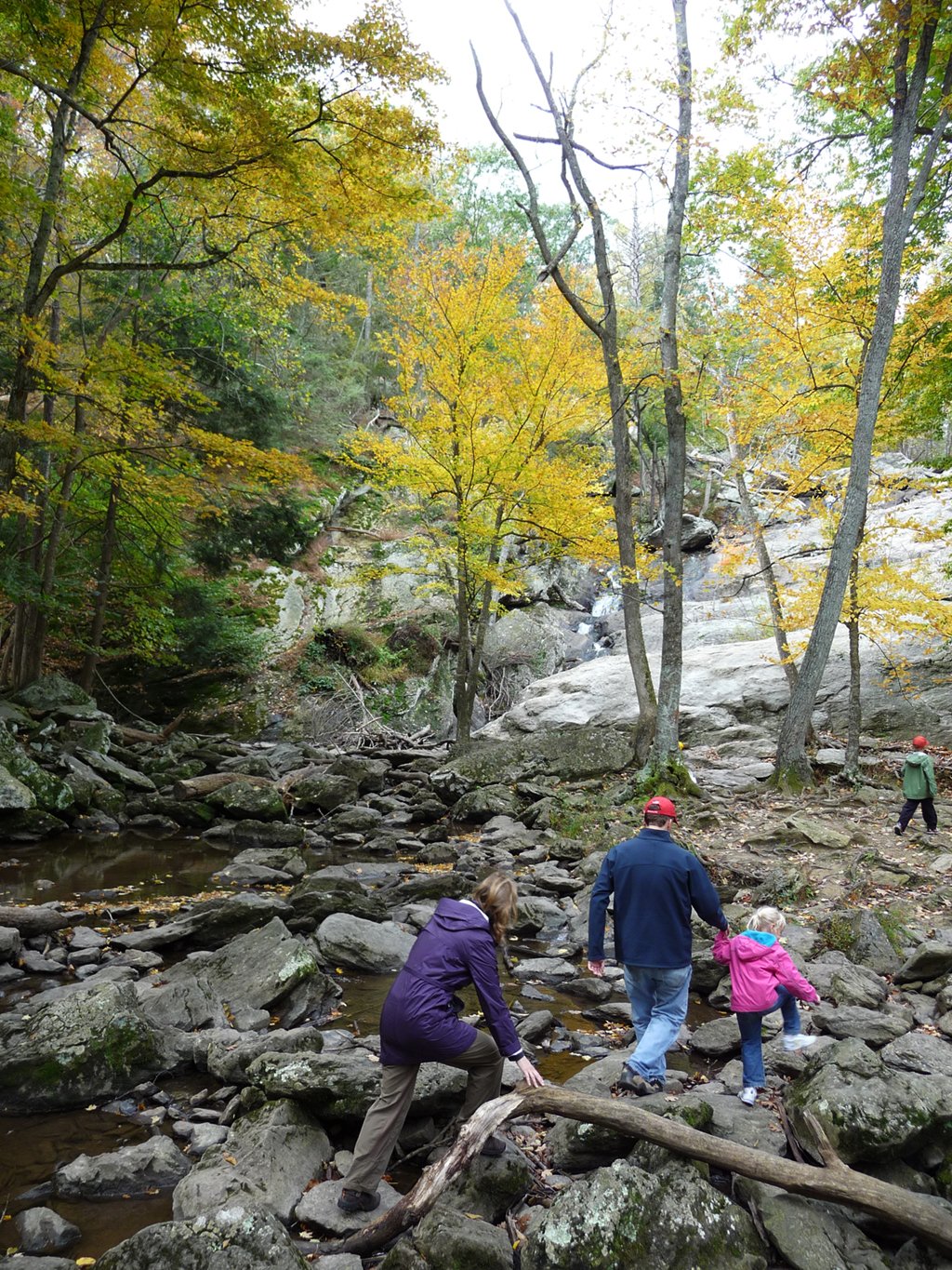
Distance from DC: 71 miles.
Why Go: Home to the presidential retreat, Camp David, this Maryland park features 25 miles of hiking trails across 5,810 acres of hardwood forest. Many of the trails boast great views of the Monocacy River Valley as well as remains left by early settlers who used the land over the years for farming, mining iron ore, and brewing hooch.
Best Easy Hike: Blue Blazes Whiskey Still Trail
A one-third-mile stroll along this trail leads to the site where a large commercial moonshine operation stood until a raid in 1929. Placards tell the story of the dramatic event, during which a deputy sheriff was killed, while a period-appropriate still helps convey how moonshine was made.
Best Moderate Hike: Falls Nature Trail
From the visitor center, the 1.4-mile trail heads to Cunningham Falls, the tallest waterfall in Maryland, at 78 feet.
Most Challenging Hike: Wolf Rock/Chimney Rock
The approximately five-mile loop offers a pair of sweeping vistas, particularly from Chimney Rock, which extends 1,419 feet above the valley. The trail begins with a moderately strenuous climb heading east out of the visitor-center parking lot. Beware of an occasional rattlesnake sunning itself on the rocks at the top.
Stay: The park’s Owens Creek Campground has 50 sites set among tall oaks and tulip poplars. Reserve a spot along Owens Creek and the bubbling brook will serenade you all night.
Eat: Picnicking is permitted at the Owens Creek and Chestnut picnic areas. Both have tables and grills. Or, join the locals for some dine-in or carryout “broasted” chicken, corn fritters, and a black-raspberry milkshake at Thurmont Kountry Kitchen (17 Water St., Thurmont; 301-271-4071).
Nearby: Pick up a basket of just-picked apples, peaches, or blueberries from Pryor’s Orchard, a 50-year mainstay off Route 77 by the park entrance (13841-B Pryor Rd., Thurmont; 301-271-2693).
—Joe Sugarman
Shenandoah National Park
Distance from DC: 88 miles.
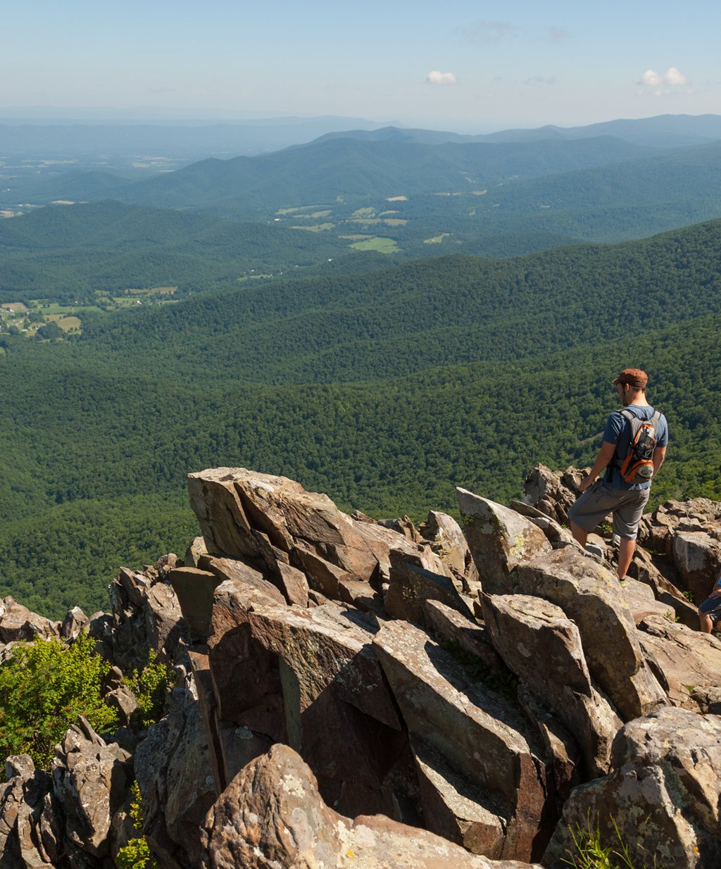
Why Go: This 80,000-acre park, established in 1935, is best known for Skyline Drive, which follows the ridgeline of the Blue Ridge Mountains for 105 miles, from Front Royal to Waynesboro, Virginia. Seventy-five overlooks feature stop-worthy views of the Shenandoah Valley and the Shenandoah River, and 500-plus miles of hiking trails offer more reasons to get out of your car.
Best Short Hike: Bearfence Trail
While bears can be spotted throughout the park, I’ve seen them several times in the woods next to the parking area of the aptly named Bearfence trailhead. Yes, the cubs can be cute, but it goes without saying to keep your distance. The 1.2-mile, moderate hike can be done as an out-and-back or as a partial loop when you’re connecting to a portion of the Appalachian Trail on the return. A fun rock scramble leads to a rocky peak. From there, it’s less than a quarter mile to the true summit and a 360-degree panoramic view of the park. The trailhead is at mile 56.4.
Most Challenging Hike: Little Devils Stairs
Feel your quads burn on this intense, five-mile trek that climbs 1,585 feet in a little over a mile and a half into a narrow gorge. You’ll encounter several stream crossings before entering the gorge; there, the wooded trail switches to rocky terrain that requires scrambling over rock ledges. The payoff is dramatic scenery—including a few small waterfalls about halfway up. A fire road makes an easy trip back down to the trailhead, which is off Route 211 near Sperryville.
Great Waterfall Hike: Whiteoak Canyon
The four-mile, out-and-back, moderate hike features six waterfalls, most with a catchpool at the bottom where you can wade, swim, or simply enjoy the spray. (The tallest waterfall is 86 feet.) The trail has a few steep sections that can be slippery, so take your time on the two-mile journey down into the canyon. The trailhead is at mile 42.6 of Skyline Drive.
Stay: Skyland Lodge and Cabins (Skyline Drive mile 41.7; 877-847-1919) features traditional hotel-style rooms as well as one-bedroom suites with fireplaces. The main draw is the view of the valley, enjoyed off the private balconies and porches. Some rooms are pet-friendly.
Eat: Skyland also has a good restaurant with a mix of down-home cooking, gourmet fare, and vegetarian options. Try the Gourmet Burger with brisket, Gouda, and béarnaise. Or if you’re looking to picnic with a view, head to Big Meadows (mile 51.2; no phone).
Nearby: On the way home, consider stopping by one of the many vineyards in the area, such as Little Washington Winery (72 Christmas Tree La.; 540-987-8330) and Gadino Cellars (92 Schoolhouse Rd.; 540-987-9292), both in Washington, Virginia. Or pop into Luray Caverns (101 Cave Hill Rd., Luray; 540-743-6551). A one-hour tour covers the cathedral-like chambers’ spectacular rock formations.
—Matthew Graham
*All distances are measured from the Washington Monument.
A version of this article appeared in the April 2016 issue of Washingtonian.

