*All distances are measured from the Washington Monument.
Eight Waterfalls, One Hike
Where: Whiteoak Canyon/Cedar Run in Shenandoah National Park.
Distance from DC:* 96 miles.
Length of hike: 8 miles.
Difficulty: Strenuous.
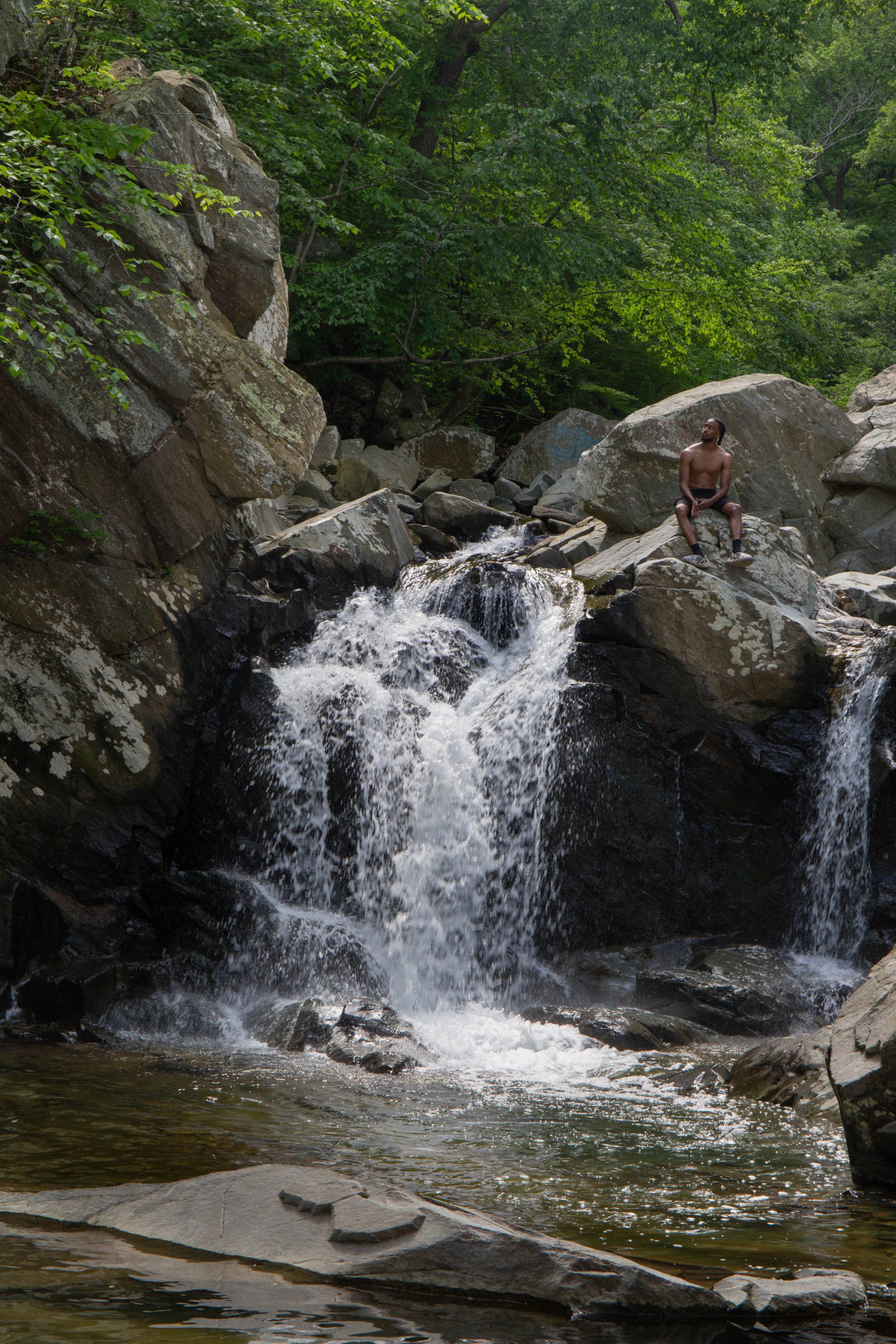
This loop hike features eight falls—most notably the 86-footer at the upper end of Whiteoak Canyon Trail, the second-highest waterfall in Shenandoah National Park. Fair warning: With a change in elevation of nearly 2,500 feet, this hike is a healthy workout. But you can cool off by standing beneath a couple of the falls or by sitting or wading into the catch pools. The park’s dense forest also provides shade on hot days. Leave your car in the Whiteoak Boundary Parking area, then ascend the Whiteoak Canyon Trail. You’ll finish by coming down the Cedar Run Trail. One of the falls midway down Cedar Run has a relatively flat, rocky portion where you can sit and feel the spray of the water or cool your feet.
After the hike: Sip some Sauvignon Blanc or Old Rag Red at Sharp Rock Vineyards in Sperryville.
Accessible to All
Where: Cunningham Falls in Thurmont, Maryland.
Distance from DC: 66 miles.
Length of hike: 0.25 to 1.25 miles.
Difficulty: Easy to moderate.
At 78 feet high, Cunningham Falls is Maryland’s highest cascading waterfall. Unlike a straight shower of water, a cascading waterfall meanders over sections of rock—inspiring some visitors to climb up the rocks to sit beneath the spray. (The park advises against this.) There are two paths to the falls in Cunningham Falls State Park. From the main lot in the William Houck Area, you can take an easy, lower path of crushed gravel that’s only a half mile long. The longer Cliff Trail includes a few fun rock scrambles and is about three-quarters of a mile. Or combine the two trails to make a loop—start with the Cliff Trail and return via the Lower Cliff Trail. The waterfall also can be viewed via a quarter-mile, handicapped-accessible boardwalk. For that, use the parking area on Foxville Road. (It requires a handicapped license or tag.)
After the hike: Take a dip in Hunting Creek Lake in Cunningham Falls State Park—the lake has two small beaches.
One Very Tall Waterfall
Where: Overall Run in Shenandoah National Park.
Distance from DC: 90 miles.
Length of hike: 6.2 miles.
Difficulty: Strenuous.
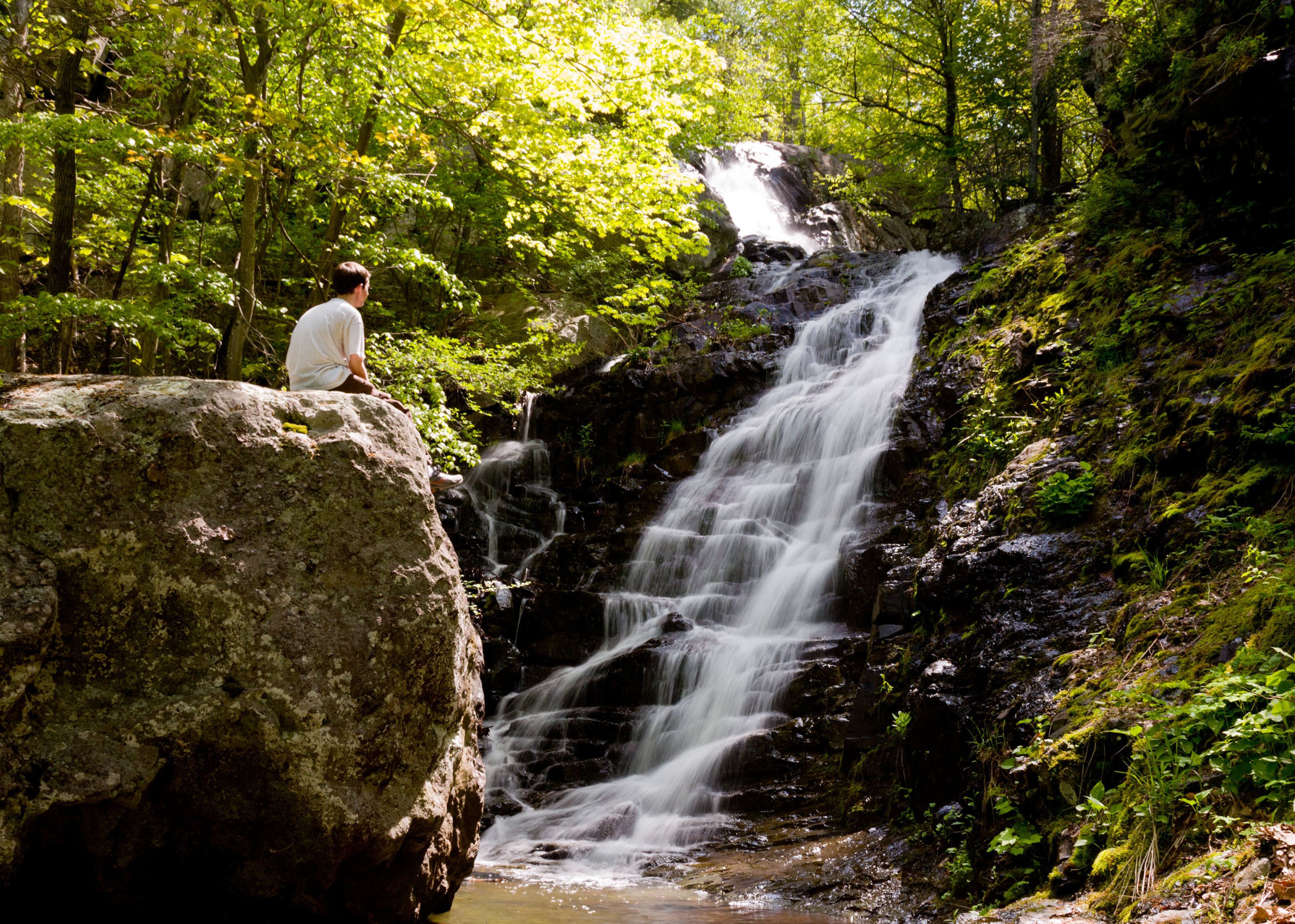
Overall Run Waterfall, at 93 feet, is the tallest in Shenandoah National Park. Yet timing is everything: If there hasn’t been any recent rain, it can be a mere trickle. With plentiful precipitation, though, it’s spectacular. The hike starts from the Hogback Overlook on Skyline Drive, at mile marker 21, and follows the Appalachian Trail to the Tuscarora–Overall Run Trail. A short side trail leads to a view of the top of the falls. A little farther along the Tuscarora–Overall Run Trail, there’s a view of the bottom portion of the falls. It’s mostly downhill to the falls, but that means it’s an uphill trek back to the car. Serious hikers can try an 11-mile loop that continues downhill to a swimming hole (no views of the falls here) and returns via the Overall/Beecher Connector and the Beecher Ridge Trail.
After the hike: Hit Skyline Brewing, near the park’s Thornton Gap entrance, for what’s on tap that day—perhaps a Shenandoah Wheat or White House Honey Porter (so named because it’s the same recipe made in the White House kitchen under President Obama).
Cool and Close By
Where: Scott’s Run in McLean.
Distance from DC: 12 miles.
Length of hike: 2 to 4 miles.
Difficulty: Easy to moderate.
This beautiful small waterfall adjacent to the Potomac River can be reached easily via a simple one-mile trail. Several longer loop hikes can also be created by connecting various trails—all of them well marked—in the nature reserve. On the way to the waterfall, you’ll cross a stream by walking on a row of round concrete pads. But once you reach the falls, you’ll need to stay out of the water: The current on the Potomac here can be very strong and dangerous. The hike is popular all year-round, so you’ll want to get there early to find a spot for your car. There are two parking areas; the second lot you come to when going west on Georgetown Pike is closest to the trailhead.
After the hike: Try the brick-oven pizza at Rocco’s Italian Restaurant in McLean.
The Greatest: Great Falls
Where: Great Falls in McLean.
Distance from DC: 20 miles.
Length of hike: 3 miles.
Difficulty: Easy to moderate.
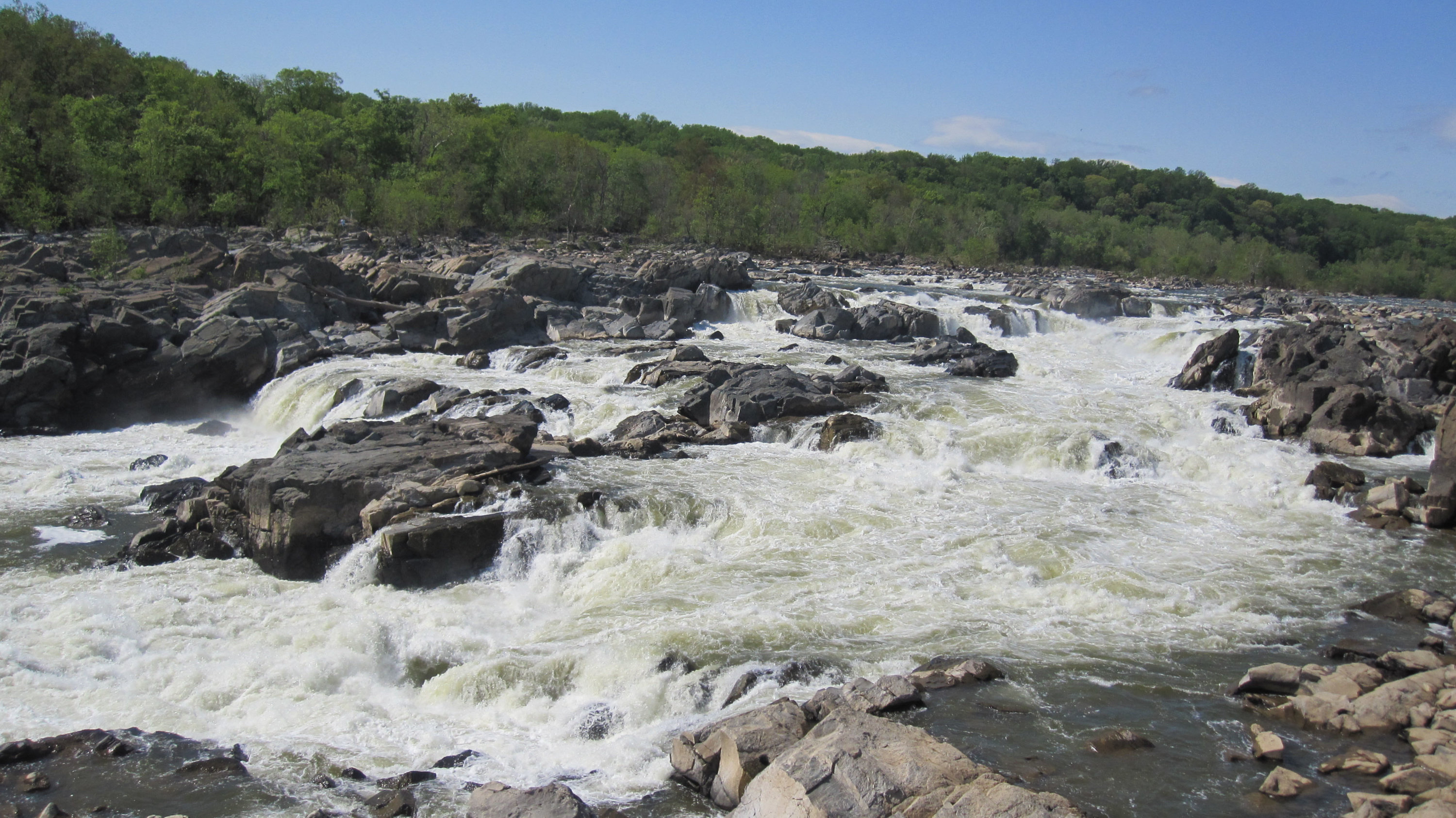
No list of waterfalls in the area would be complete without Great Falls. The raging torrent drops 47 feet over a series of slanted rock walls. There are overlooks on both the Maryland and Virginia sides of the Potomac; the Virginia overlook, in Great Falls Park (a National Park Service site), provides a better view of the falls in their entirety. To avoid the entry fee ($20 a car) and a sometimes long line to get in, you might leave your car at Riverbend Park in Virginia, about two and a half miles north of the entrance to Great Falls Park (suggested donation: $2). The three-mile, out-and-back hike in Riverbend Park follows easy wooded pathways along the river to the two overlooks at the national park.
After the hike: Enjoy a leisurely lunch of French fare on the patio at L’Auberge Chez François.
Two Right in Arlington
Where: Potomac Tributary and Gulf Branch, on the Potomac Heritage Trail in Arlington.
Distance from DC: 6 miles.
Length of hike: 5 miles.
Difficulty: Easy to moderate.
Enjoy two little-known waterfalls right across the water from DC. From Potomac Overlook Regional Park in Arlington, follow the Donaldson Run Trail for about a mile to the Potomac Heritage Trail. Turn right and walk along the Potomac River for another mile to the Potomac Tributary Waterfall, which features several small cascades. Return north along the trail and continue past the intersection with the Donaldson Run Trail for a half mile to another cascading waterfall where Gulf Branch meets the Potomac River. Both of these run best after there’s been some rainfall. You can backtrack along the Potomac River and up the Donaldson Run Trail to complete the hike.
After the hike: Enjoy Thai rolled ice cream at La Moo Creamery in Arlington.
Descend Into Cool Darkness
Where: Rose River Falls and Dark Hollow Falls in Shenandoah National Park.
Distance from DC: 100 miles.
Length of hike: 4.5 miles.
Difficulty: Moderate to strenuous.
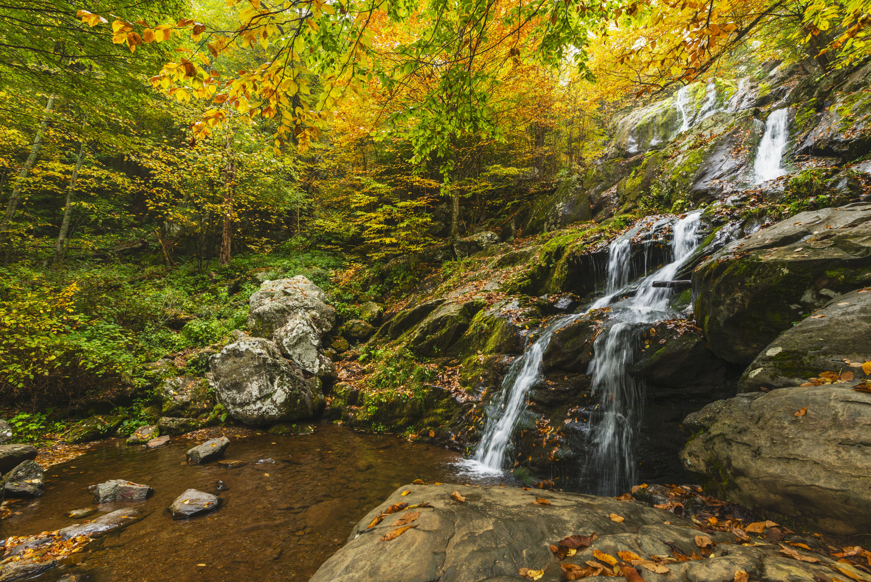
Starting atop Skyline Drive in the Fishers Gap Overlook parking lot at mile marker 49, descend deep into the woods to 67-foot Rose River Falls, which divides into two distinct cascades. From there, you can continue down the trail and traverse a bridge over the stream. As the trail begins to ascend, you’ll find some additional waterfalls and wading spots. A short distance after the trail intersects with a fire road, you’ll come upon Dark Hollow Falls Trail and its 70-foot waterfall. You probably won’t have this waterfall to yourself—it can get crowded because it’s also easily reached via a short hike from a different parking area along Skyline Drive. Return to the fire road and follow it back to your starting point.
After the hike: Grab a cup of coffee at solarpowered Off the Grid cafe in Sperryville.
A Short, Easy Walk
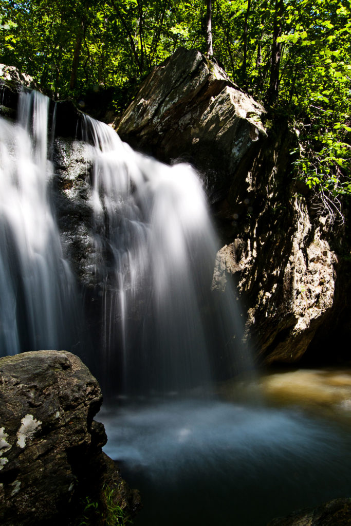
Where: Kilgore Falls in Pylesville, Maryland.
Distance from DC: 81 miles.
Length of hike: One mile.
Difficulty: Easy.
If you’re looking for a pleasant stroll to a tranquil waterfall, this gem north of Baltimore in Rocks State Park is it: Seeing the falls involves just a half-mile jaunt from the parking area over easy terrain. The tricky part? A reservation is required to visit the falls on weekends and holidays. Once there, look for the Kilgore Falls Trail, where hikers will find a boardwalk section, a wooden bridge, a small stream crossed via some well-placed rocks, and a side trail that leads to a view from the top of the waterfall. The catch pool at the bottom of the falls features a shallow area for children to splash around. A deeper area, closer to the 17-foot waterfall, allows for wading, swimming, or standing beneath the flowing water. On a busy weekend day, you may see visitors jumping from the rocks into the catch pool. This is not recommended—the waterfall is bordered by blunt rock faces.
After the hike: Try the delicious desserts at nearby Eats & Sweets. It has a full food menu, too.
This article appears in the July 2022 issue of Washingtonian.

