Blame it on a bolide—an asteroid-like object that collided with what’s now the lower Delmarva Peninsula about 35 million years ago, creating a canyon twice the size of Rhode Island. According to geologists, the crater appears to have influenced the course of the region’s rivers after an ice age 10,000 years ago, and the bay as we know it began to take shape.
Surprisingly shallow. Its average depth, including all tidal tributaries, is about 21 feet. An oft-repeated tale is that a man who is six feet tall could wade through more than 700,000 acres of the bay without getting his hat wet. Its deepest point is 174 feet below sea level, at a place called The Hole, near Bloody Point off the southern tip of Kent Island. The area is known for harboring some of the biggest fish in the bay.
Some 64,000 square miles, including portions of six states (Delaware, Maryland, New York, Pennsylvania, Virginia, and West Virginia) plus the District of Columbia. The bay and its tidal tributaries have 11,684 miles of shoreline—more than the entire US West Coast.
The Chesapeake begins at Havre de Grace, where the Susquehanna River, the bay’s largest tributary, completes its 444-mile journey from its headwaters at Otsego Lake in Cooperstown, New York.
Native Americans gave the bay its Algonquin name, Chesepiook, meaning “great shellfish bay.”
In 1967, the Chesapeake Bay Foundation—which coined the slogan “Save the Bay”—was founded as a private-sector response to a perceived disregard by industries and government to the bay’s health. Nearly 50 years later, despite a population explosion, the Chesapeake is, by most measures, doing better than it was. Still, environmentalists say there’s a long way to go, particularly in regard to managing runoff from farms and city streets and improving the health of crab and oyster populations, which have been decimated by disease, pollution, and “dead zones”—areas with low amounts of oxygen, caused by excessive nitrogen and phosphorus pollution.
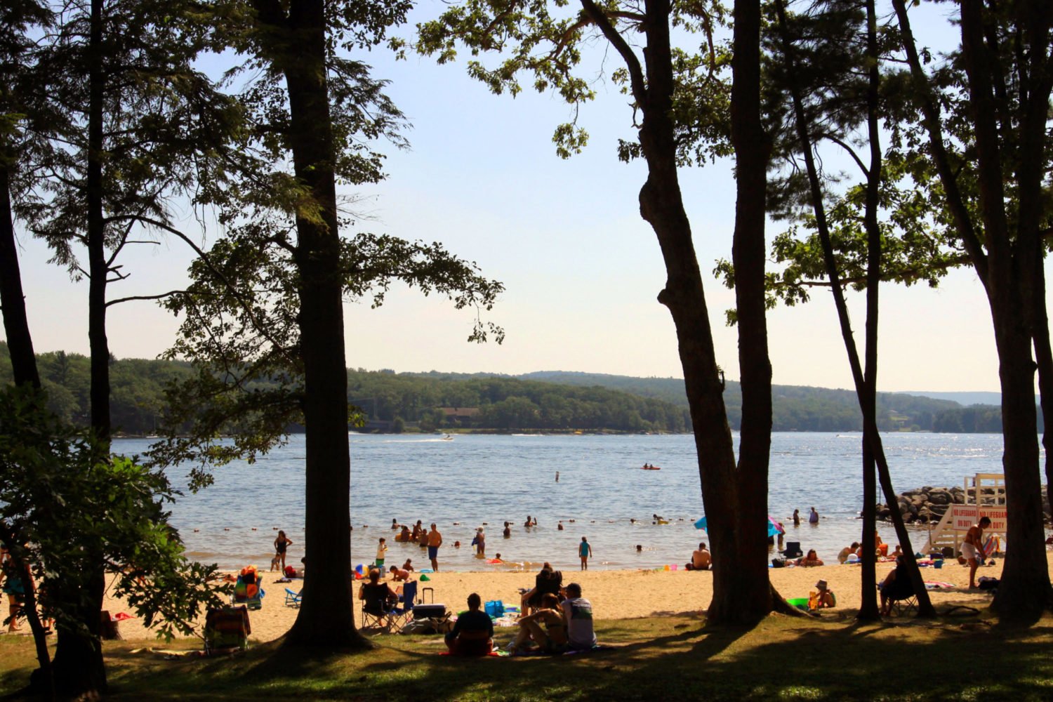
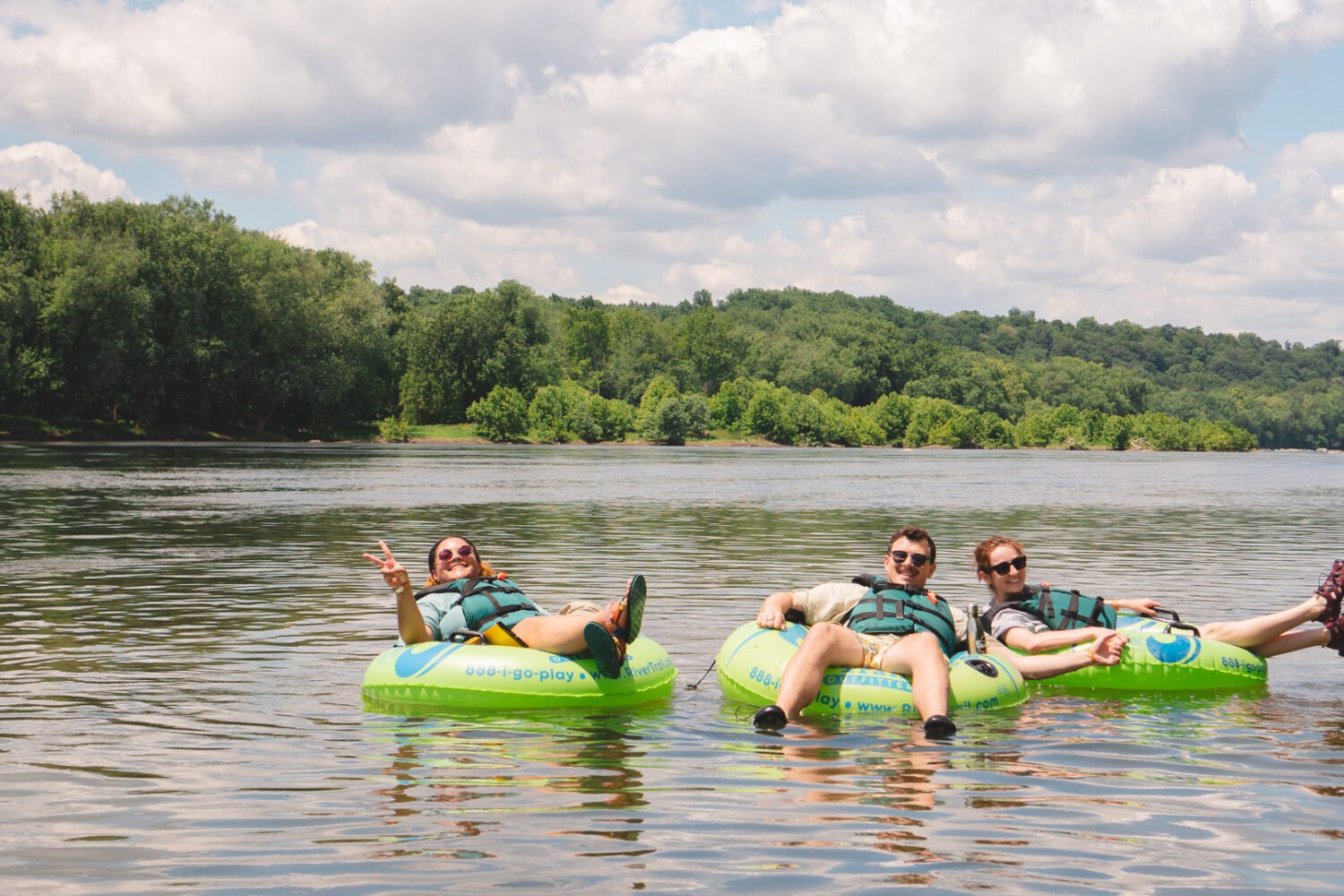
Well, yes—and sometimes no. The hazards of stinging nettles aside, poor water quality can be a real problem when it comes to taking a dip. Local health departments suggest refraining from swimming until 48 hours after heavy rainstorms, which often flood waterways with bacteria from runoff and untreated sewage. You also might want to forgo that swim if you have an open cut, an ear infection, or a compromised immune system. Needless to say, try not to swallow the water. Before donning your swimsuit, you can contact a county health department or check theswimguide.org, a roundup of water-quality reports from throughout the watershed.
Despite declines in marine species over the past several decades, commercial fishing continues to be one of the largest economic drivers throughout the watershed. The dockside value of the “big three” alone—blue crabs, oysters, and rockfish—totaled more than $135 million in Maryland and Virginia waters in 2014, the most recent year both states reported statistics.
Oysters are the sanitation engineers of the Chesapeake. Each filters pollutants from more than 50 gallons of water a day. But with a total oyster population at less than 1 percent of its historic high, fewer oysters are available to clean the water. Interesting fact: Oysters change their sex during their lives, starting as males and usually ending as females, a process that takes five years.
Its scientific name, Callinectes sapidus, translates to “beautiful swimmer that is savory.”

According to the Maryland Transportation Authority, Thursday and Friday before 10 a.m. and after 10 p.m.; Saturday before 7 a.m. and after 5 p.m.; and Sunday before 10 a.m. and after 10 p.m. For traffic info, see baybridge.com.
Just like regions of the US, different pockets around the bay have their own expressions and dialects. There are the Southern-tinged Tidewater Virginians, who live near “Naw-fok” and drive “kyars.” In Southern Maryland, old-timers might ask, “Have you got the tam?,” instead of time. Along the Eastern Shore, where the accent sounds like a mix of Baltimorese, Southern, and old English, a waterman might introduce you to his “wuife,” not wife. Then there are Smith and Tangier islands, two isolated communities where echoes of the Colonial settlers can still be heard. Take heed: Islanders are known for their backward-sounding expressions, so if they say, “Boy, you’re smelling sweet,” they mean you probably need to take a shower.
This article appears in our July 2016 issue of Washingtonian.

