This post was updated on October 10, 2025.
Due to the federal government shutdown, access and services at parks operated by the National Park Service may be limited or unavailable. According to NPS, trails and open-air areas generally remain accessible, but visitor centers, restrooms, trash collection, and other amenities may be closed or unstaffed. NPS did not respond to queries about shutdown conditions in specific parks.
We’re just a few weeks away from vibrant fall foliage, predicted to peak around October 27. Here’s where to get out and see the colors in all their autumnal glory:
For a last-minute hike
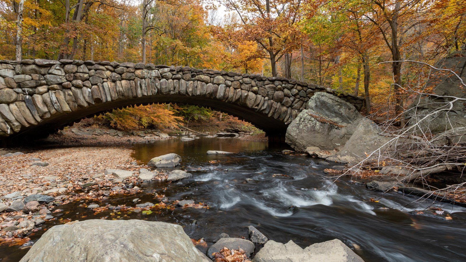
Rock Creek Park’s Boulder Bridge Hike
Difficulty: Easy
Trail length: 4 mile loop
Distance from DC: 25 minutes*
It’s always worth the reminder that you don’t need to travel far for spectacular fall foliage when we have the 1,754 acre gem that is Rock Creek Park. With more than 32 miles of intersecting trails in the park, it’s pretty easy to customize your hike according to ability and time. Two primary trails—the Western Ridge Trail and the Valley Trail—run north to south, with many east-west trails joining them together. For a taste of both of the main trails, try the park’s Boulder Bridge Hike and admire the vibrant collection of red maple, river birch, and chestnut oak before stumbling upon a more than a century-old stone bridge.
For peaking a mountain
Shenandoah National Park’s Stony Man Trail
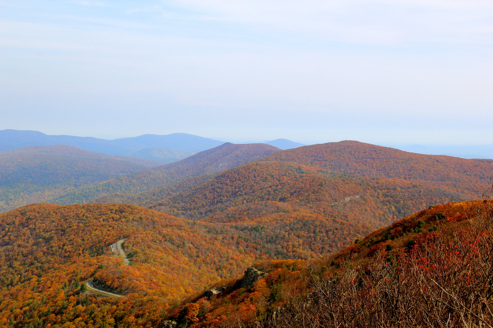
Difficulty: Easy to Moderate
Trail length: 1.5 to 3.3 mile loop
Distance from DC: 2 hours
You’ll be bathed in color no matter where you are in Shenandoah Park, but for an accessible day hike that’s right off of Skyline Drive and provides the badge of reaching a peak, head to Stony Man, the second highest mountain in the park. From the parking lot, you’ll follow the Appalachian Trail to Stony Man Trail, which will take you straight to the peak’s overlook—a rocky outcropping with sweeping views of the Shenandoah Valley and the Allegheny Mountains. To extend the hike, follow the AT toward Little Stony Man for another rocky overlook before taking the Passamaquoddy and Furnace Springs trails—on the way back to your car, you’ll pass a dramatic rock face that’s popular with climbers.
For seeing a waterfall
Catoctin Mountain Park’s Cunningham Falls Nature Trail
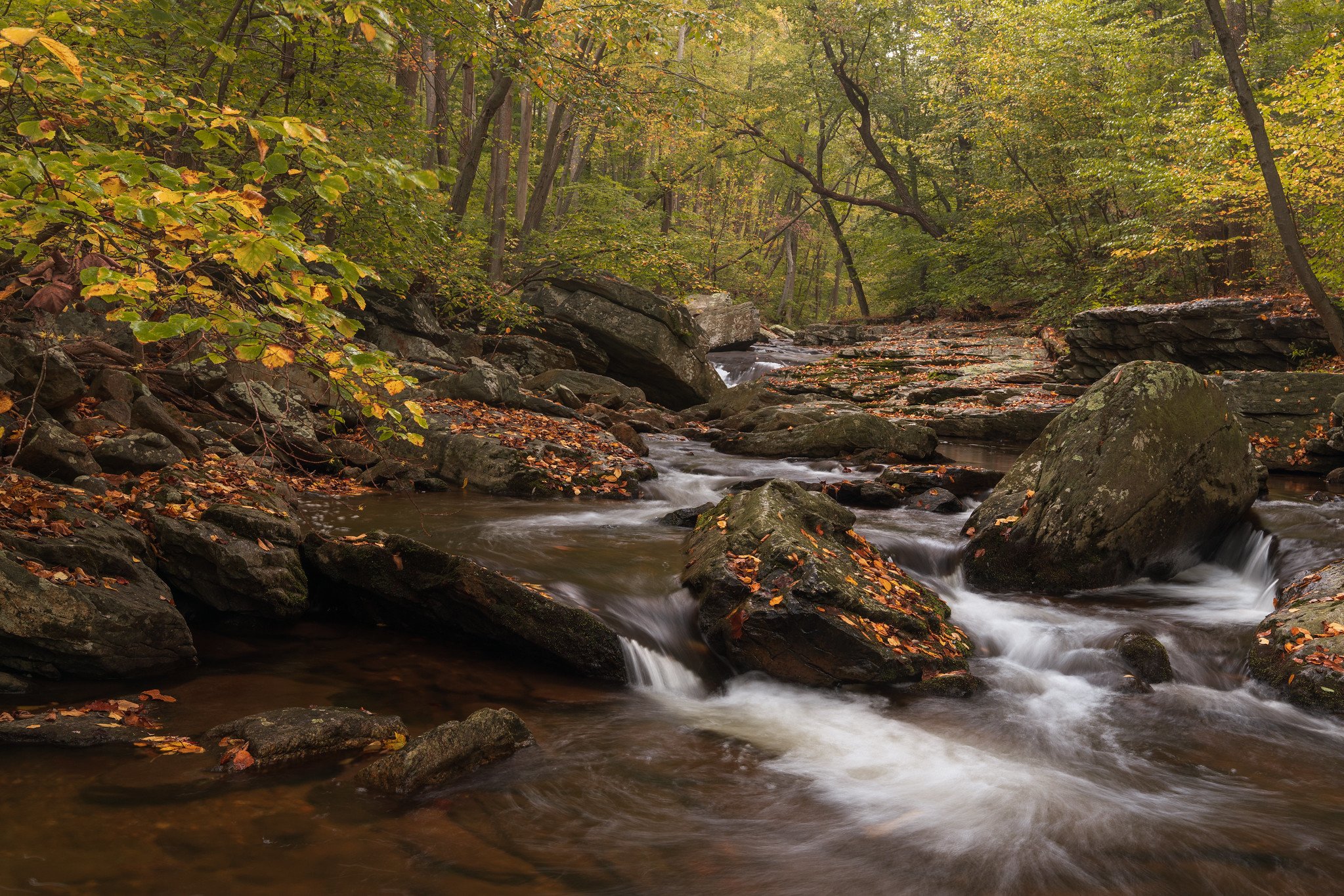
Difficulty: Moderate to Strenuous
Trail length: 2.8 to 4.6 miles
Distance from DC: 1 hour, 45 minutes
Old stone fences, valley vistas, and trout fishing streams line this park’s 25 miles of trails. But for views of the state’s tallest cascading waterfall streaming past fiery autumn leaves, take the 2.8 mile Cunningham Falls Nature Trail, starting near the park’s visitor center (where you can also learn about the park’s presidential and indigenous history). It’s the park’s most popular path, so expect other people. For solitude and more of a challenge, extend the hike by hopping on the Hog Rock and Blue Ridge Summit trails, which will take you past two scenic vistas, including the 1,610-foot Hog Rock Vista.
For Chesapeake Bay views
Calvert Cliffs State Park’s Red and Orange Loop
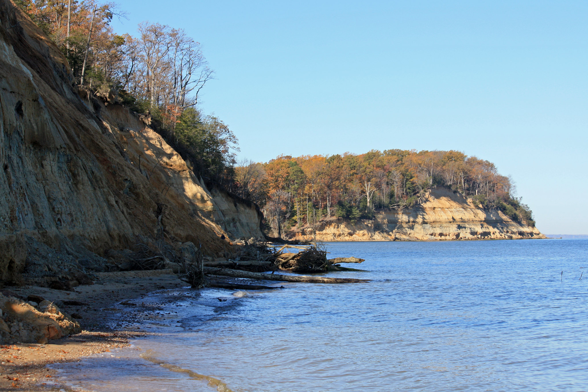
Difficulty: Easy
Trail length: 4.8 miles
Distance from DC: 1 hour, 30 minutes
The shoreline at the edge of Calvert Cliffs State Park offers a diverse palette of color: from lapping blues of the Chesapeake to dramatic sandstone cliffs topped with golden foliage. For a leisurely but scenic hike, take the tree-lined Red Trail to the open beach area where you can scavenge for shark teeth and fossils dating to the Miocene era—it’s not uncommon to find extinct scallops and mollusks—before following the orange trail back.
For dense woods
Prince William Forest Park’s Birch Bluff Trail
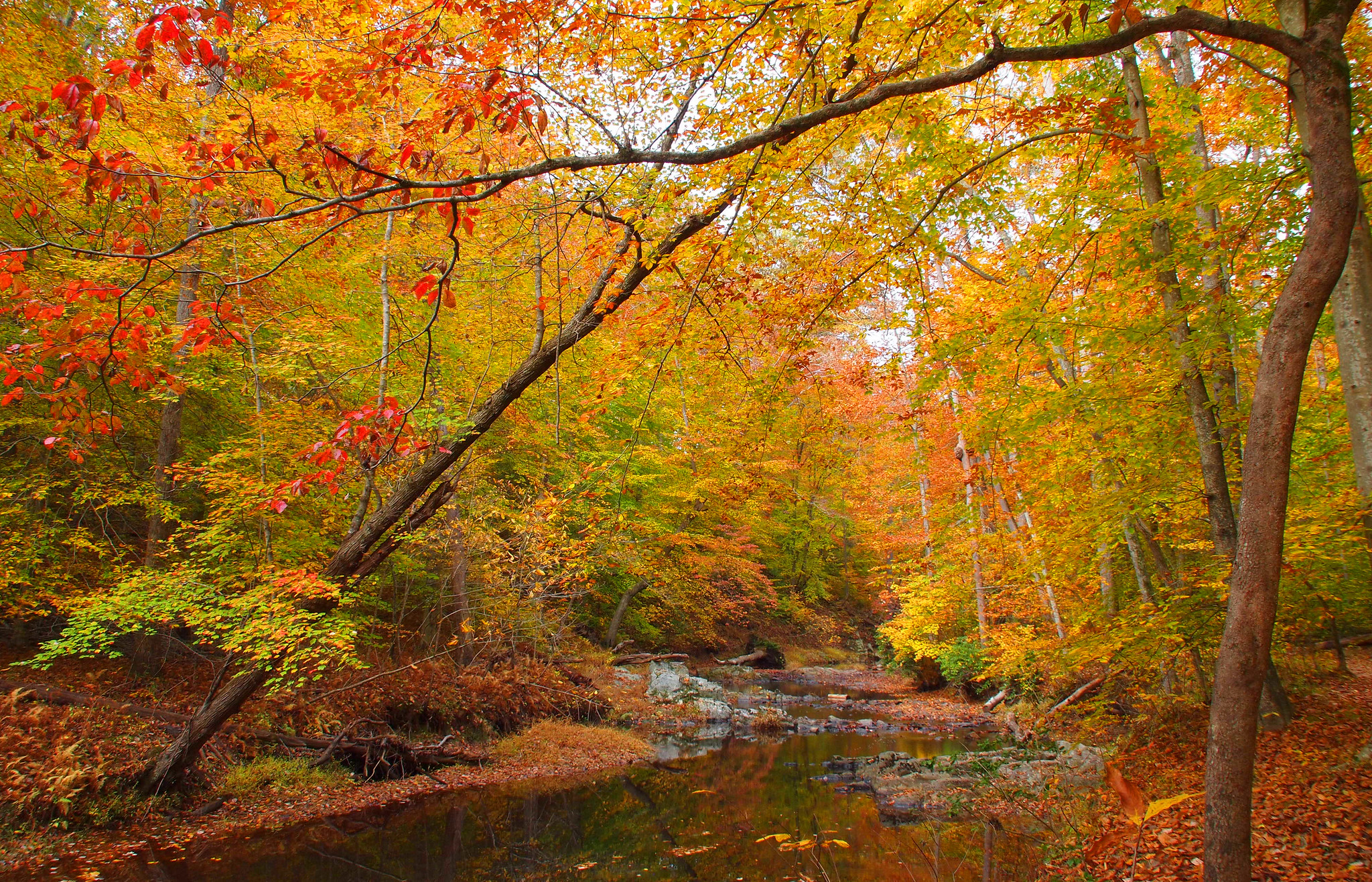
Difficulty: Easy
Trail length: 1.8 miles
Distance from DC: 1 hour
While you won’t find many dramatic overlooks here, you can expect lots and lots of trees to lose yourself in. Home to the largest contiguous piedmont (meaning “foothills”) forest in the NPS system, the park boasts a dense and diverse canopy, from smaller redbud and sassafras trees to towering white oaks, yellow poplars, and red maples. Try the easy-going Birch Bluff trail, which will take you to South Fork Quantico Creek, and keep an eye out for beaver activity as you explore.
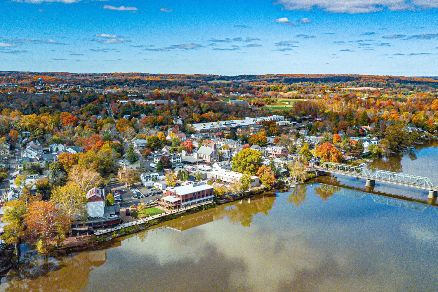
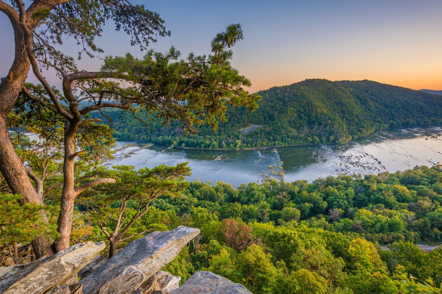
For small-town sights
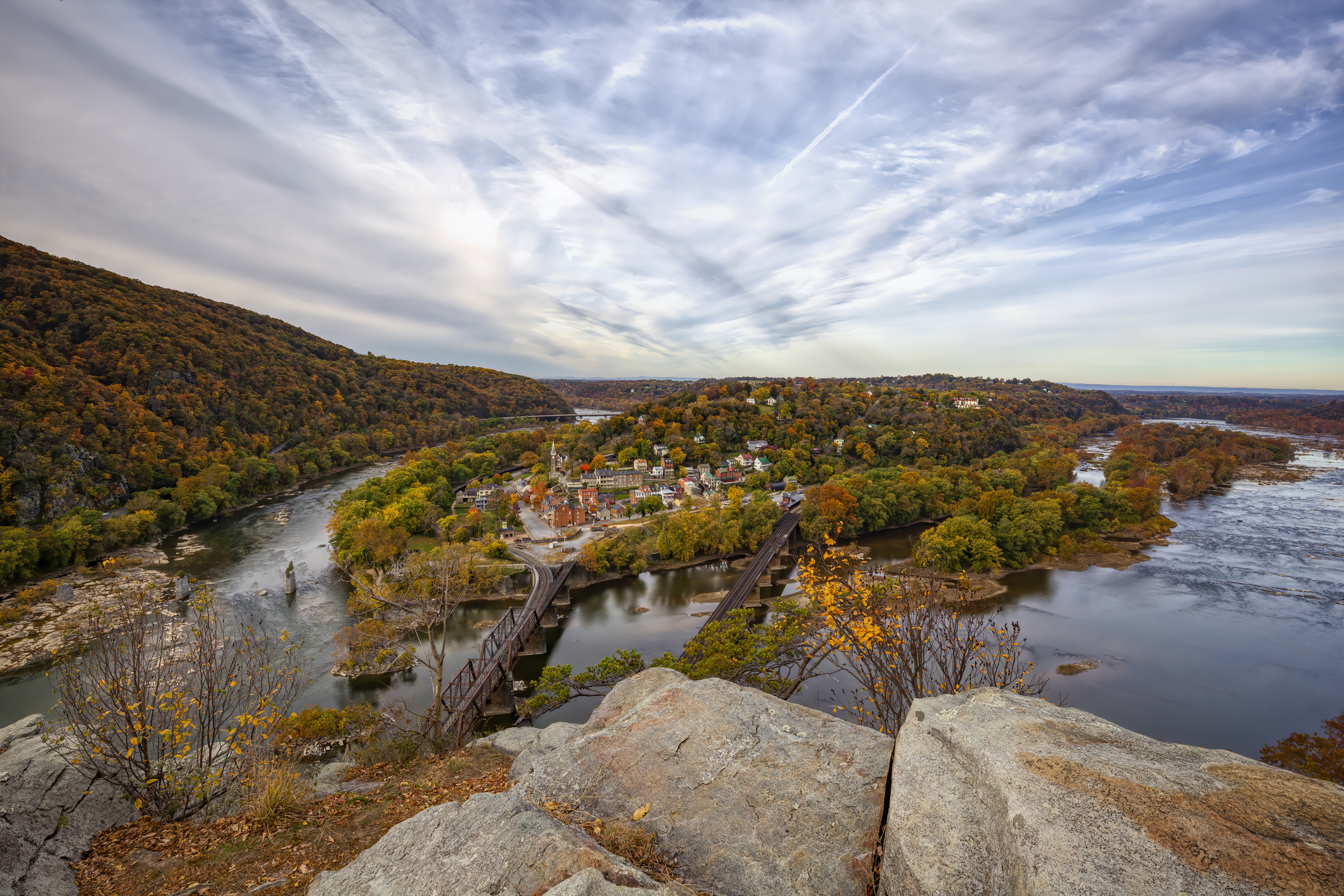
Harper’s Ferry’s Maryland Heights Trail
Difficulty: Moderate to Strenuous
Trail length: 4.5 miles to 6.5 miles
Distance from DC: 1 hour, 45 minutes
This 6.5-mile loop trail offers a bit of everything: colorful mountain vistas, Civil War relics, and a picture-perfect small town to explore afterwards. The usual access route via the Goodloe Byrone Memorial Footbridge is currently closed, so you’ll have to board a shuttle at the Visitor Center to get there. Altogether you’ll gain about 1,500 feet in elevation, but it will be worth it for the expansive cliff overlook at the end.
*All distances estimated from the Washington Monument.